11 Miles
Having travelled by train to Bristol on New Years Day we’ve spent the evening in Clifton at the Hotel du Vin with the finest view of the Clifton Suspension Bridge.
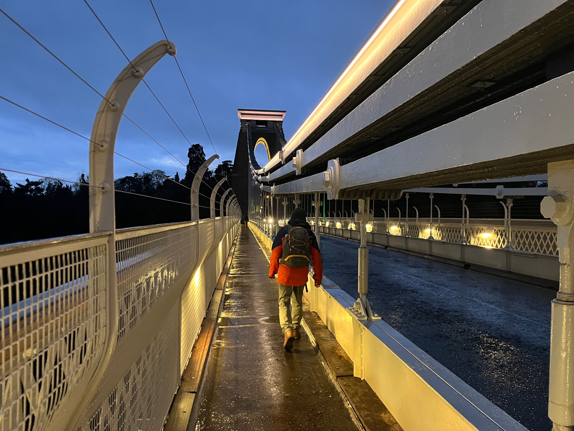
We’ve set our alarms early and are crossing the Avon Gorge, before sunrise, to catch the 8:23 X4 bus to Portishead. It’s a fun journey on the top deck through the village of Pill, under the M5, through Sheepway back to the bus stop we left in Portishead four months back. A quick visit to Waitrose for food provisions (there’s going to be no coffee shops, cosy pubs or anything much enroute), then on to the marina. Thankfully this morning’s drizzle has cleared and the sky has turned a gorgeous shade of blue.
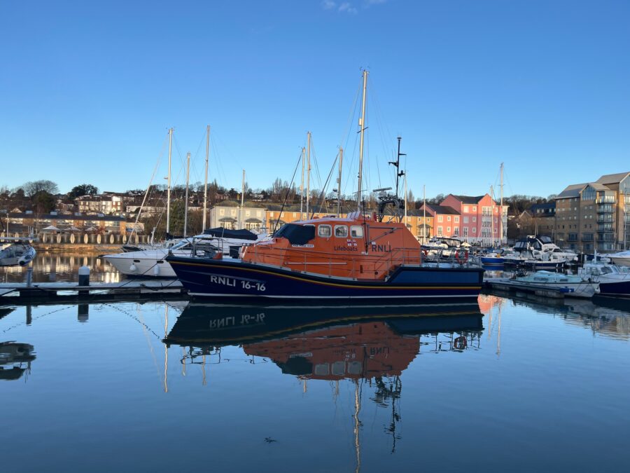
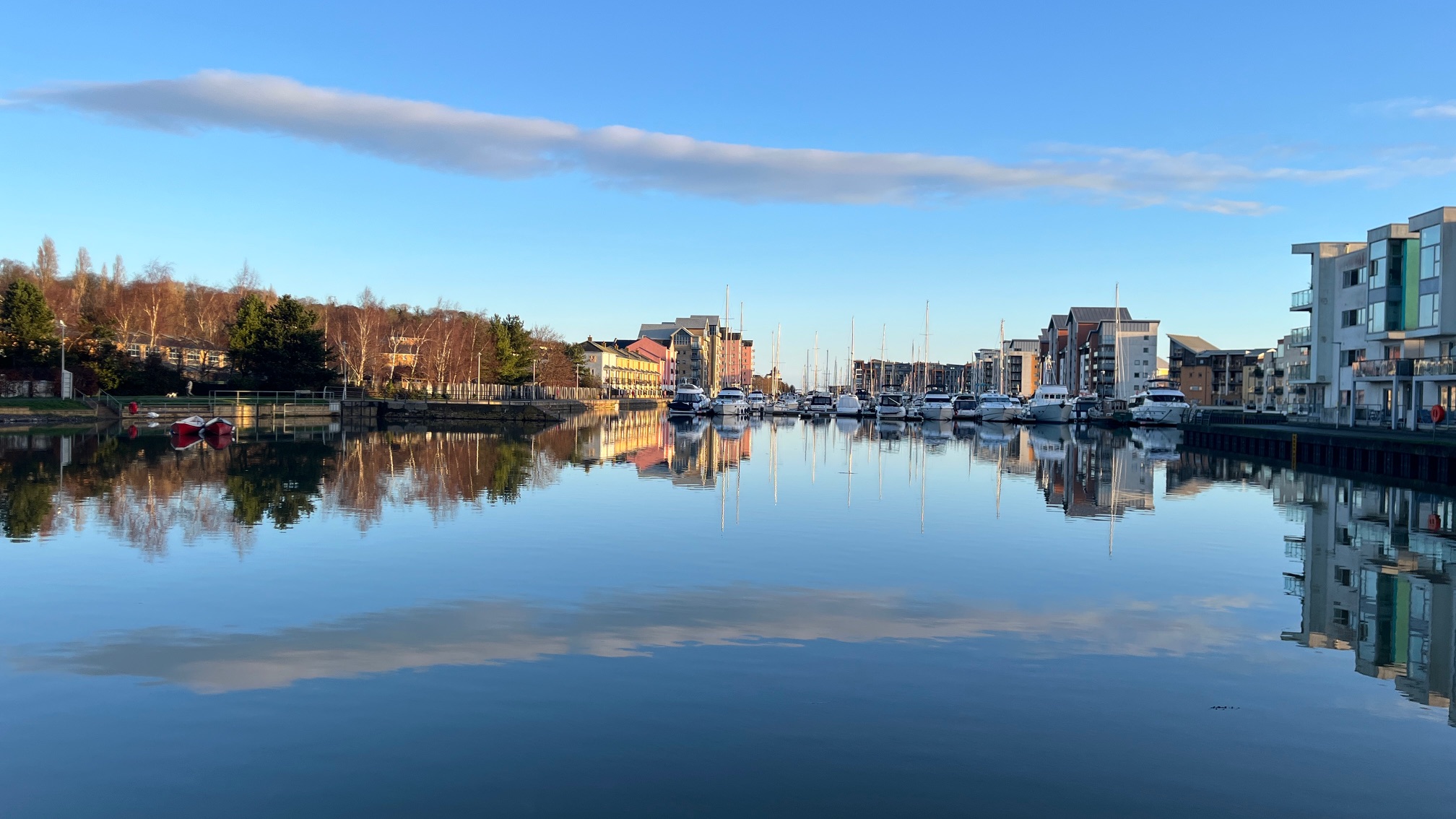
What was once a deep dock and power station has been redeveloped into a very smart marina with many restaurants, cafes and housing. It’s quiet this morning – we pass the orange and blue RNLI lifeboat, working lock then on to Portbury Wharf where there is even more housing development. We miss the turning to the nature reserve, so retrace our steps and leave the housing into Chapel Pill – a grassy area by the river estuary with a view of the cranes in Portbury Dock.
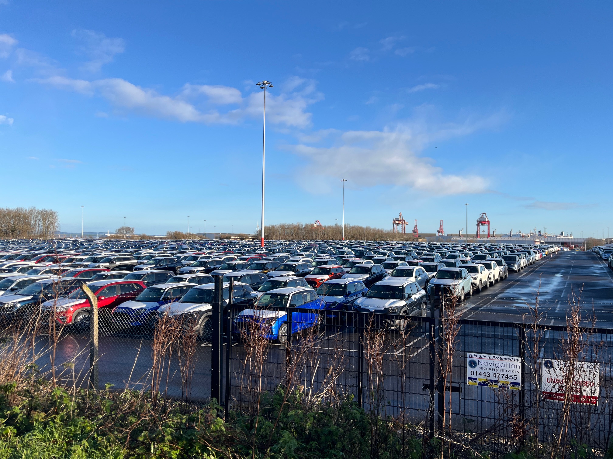
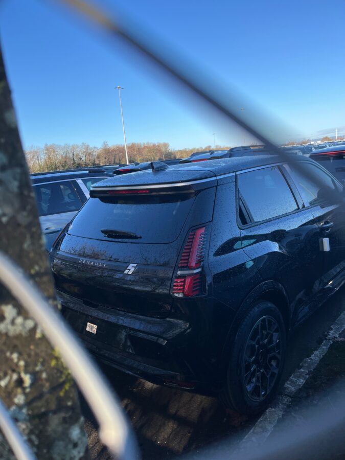
The path takes a right at the sewage works, away from the estuary, then a slight diversion into Sheepway before skirting Portbury Dock. Find ourselves walking through a small woodland then alongside a massive car compound. I’m on the lookout for my next car so am intrigued to glimpse the new electric Renault 5 through a gap in the mesh and wire fencing. One to investigate more. The next compound has row upon row of Tesla’s, stylish but not for me.
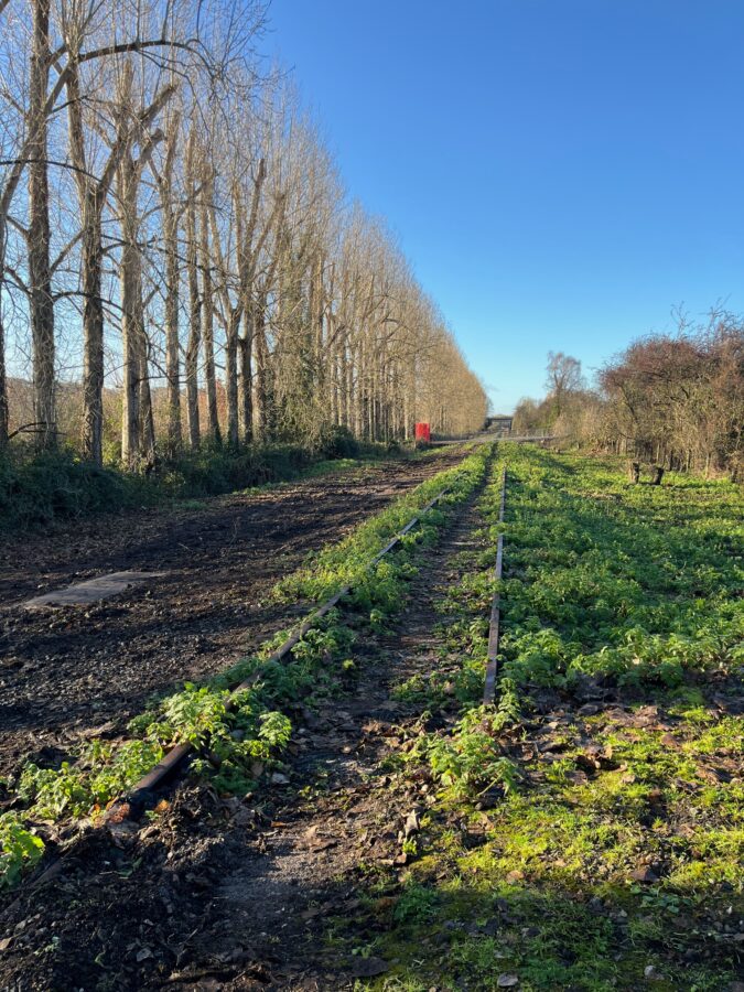
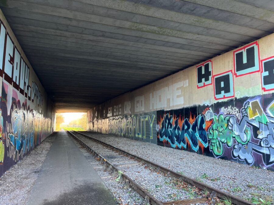
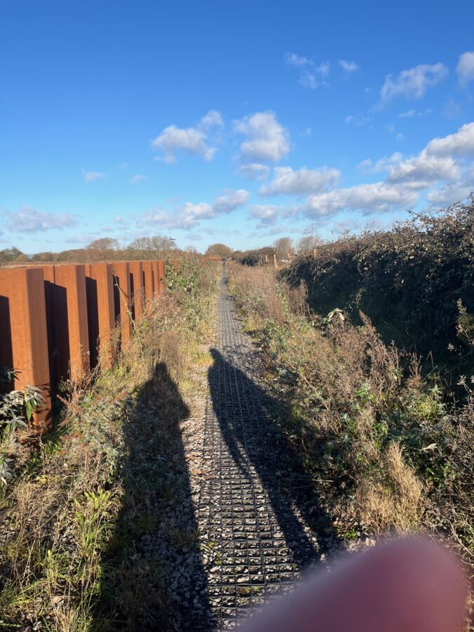
The footpath is pretty well signposted weaving on and off an old railway line, the tracks still visible, but vegetation creeping over. Cars are dashing passed on the busy M5 to our right, a row of straight poplar trees to our left. The pathway follows the train tracks under the motorway adorned with the most colourful graffiti.
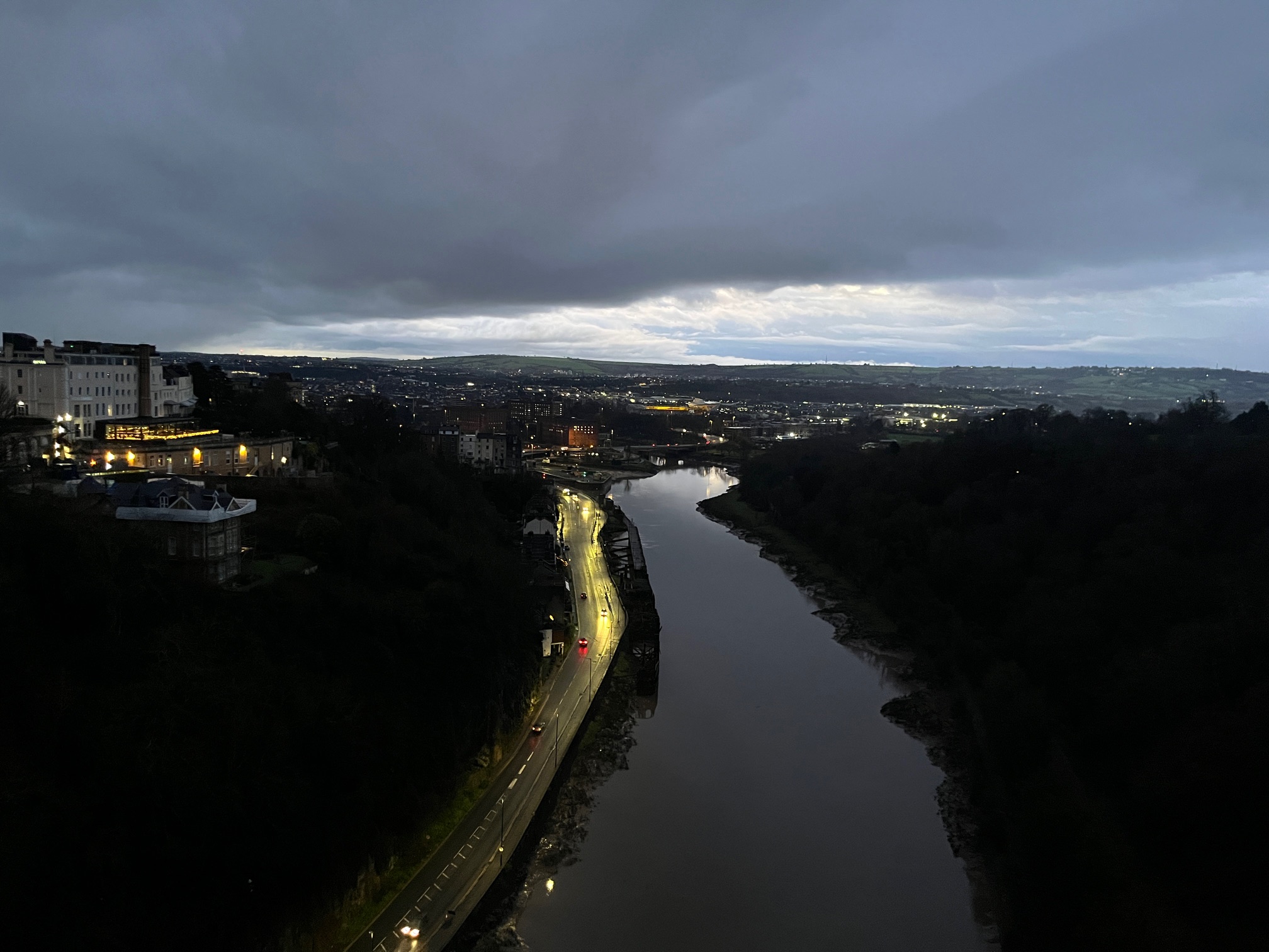
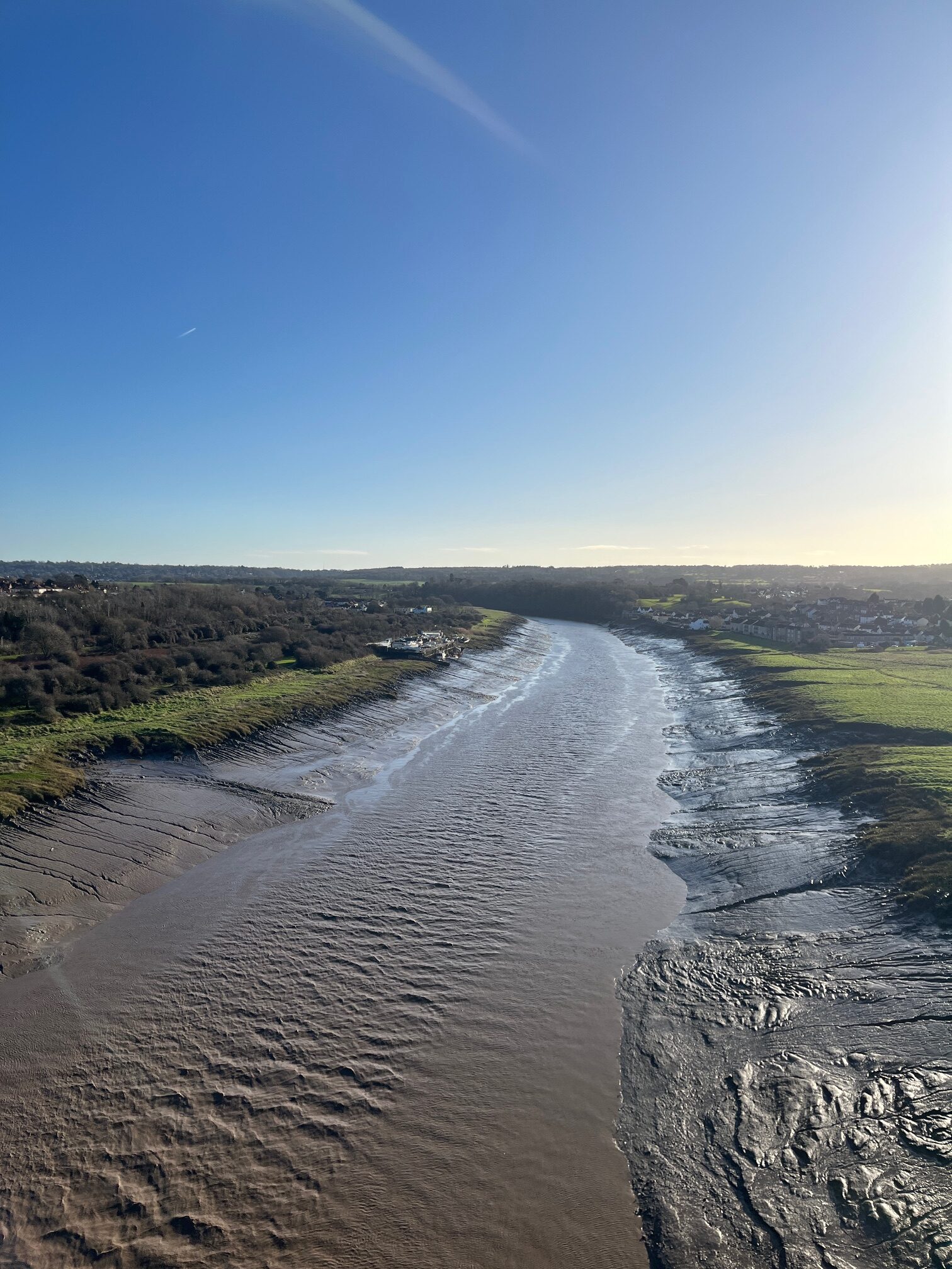
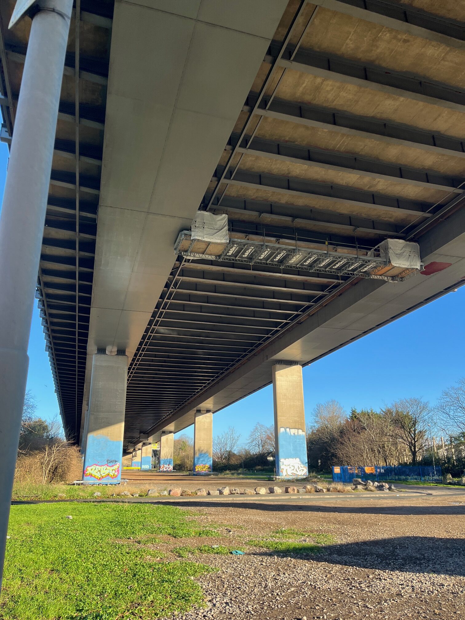
It’s time to climb up to the motorway and take the path beside the racing traffic high over the River Avon. We are thankfully protected by a crash barrier and by the Samaritans who have left their telephone number for those in need. The water level of the Avon is extremely low, between muddy banks, grassland and woodland.
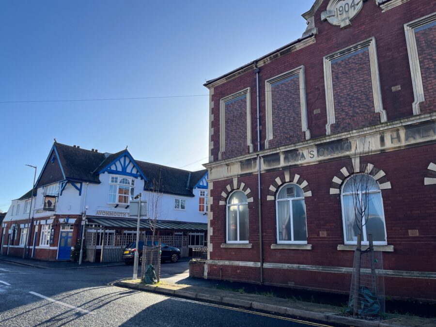
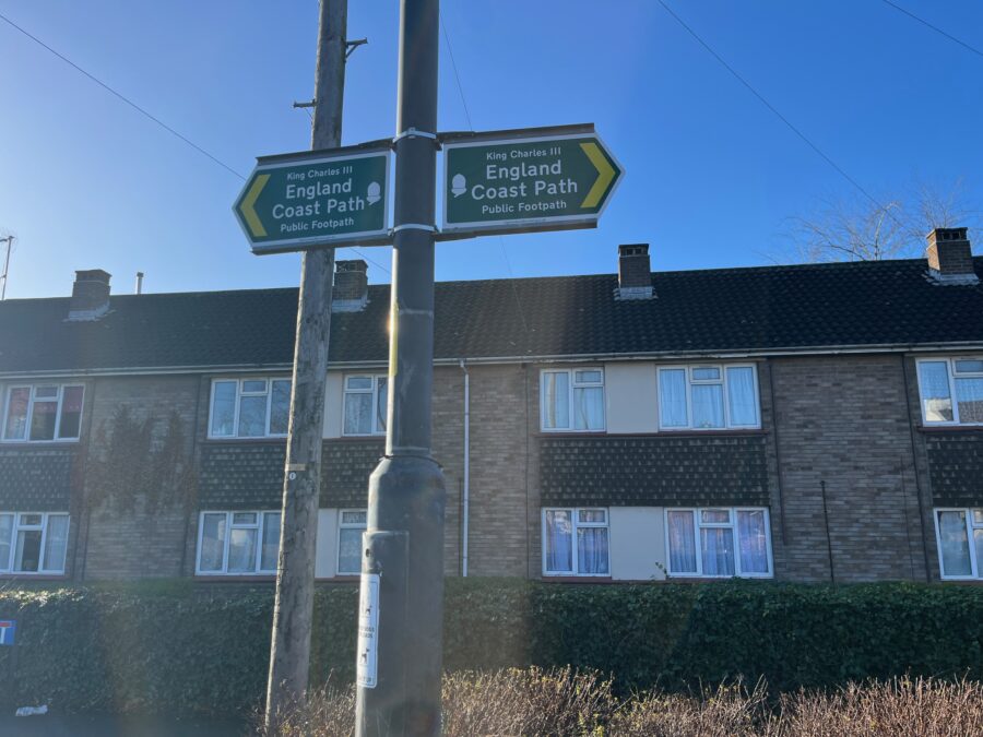
We are relieved when we complete the crossing and peel away from the motorway to weavw our way through the housing streets of the outskirts of Avonmouth. The trail passes the railway station, a pub, the masonic hall and along one more residential street – clearly marked as the England Coast Path but feeling decidedly un-coastal!
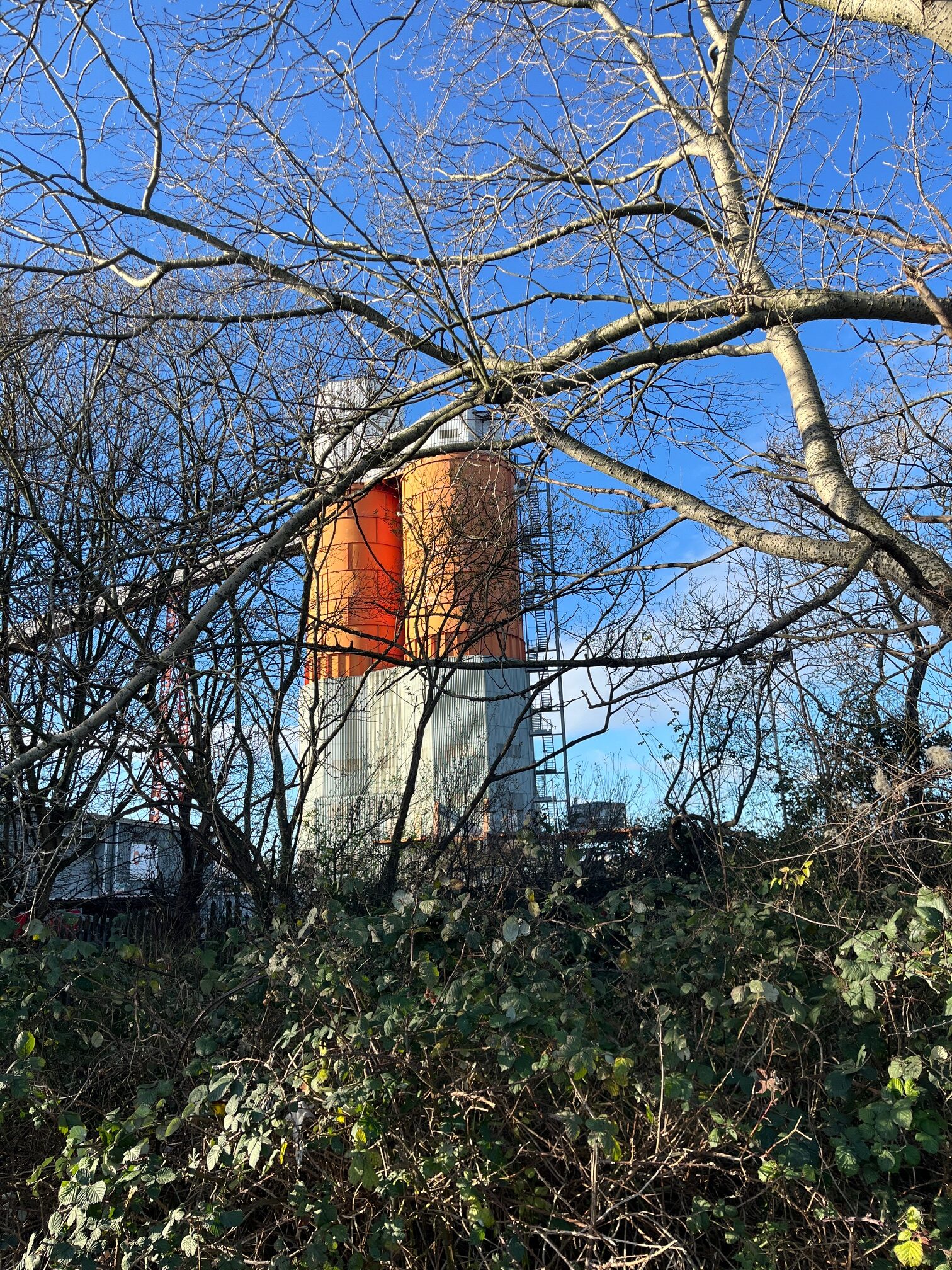
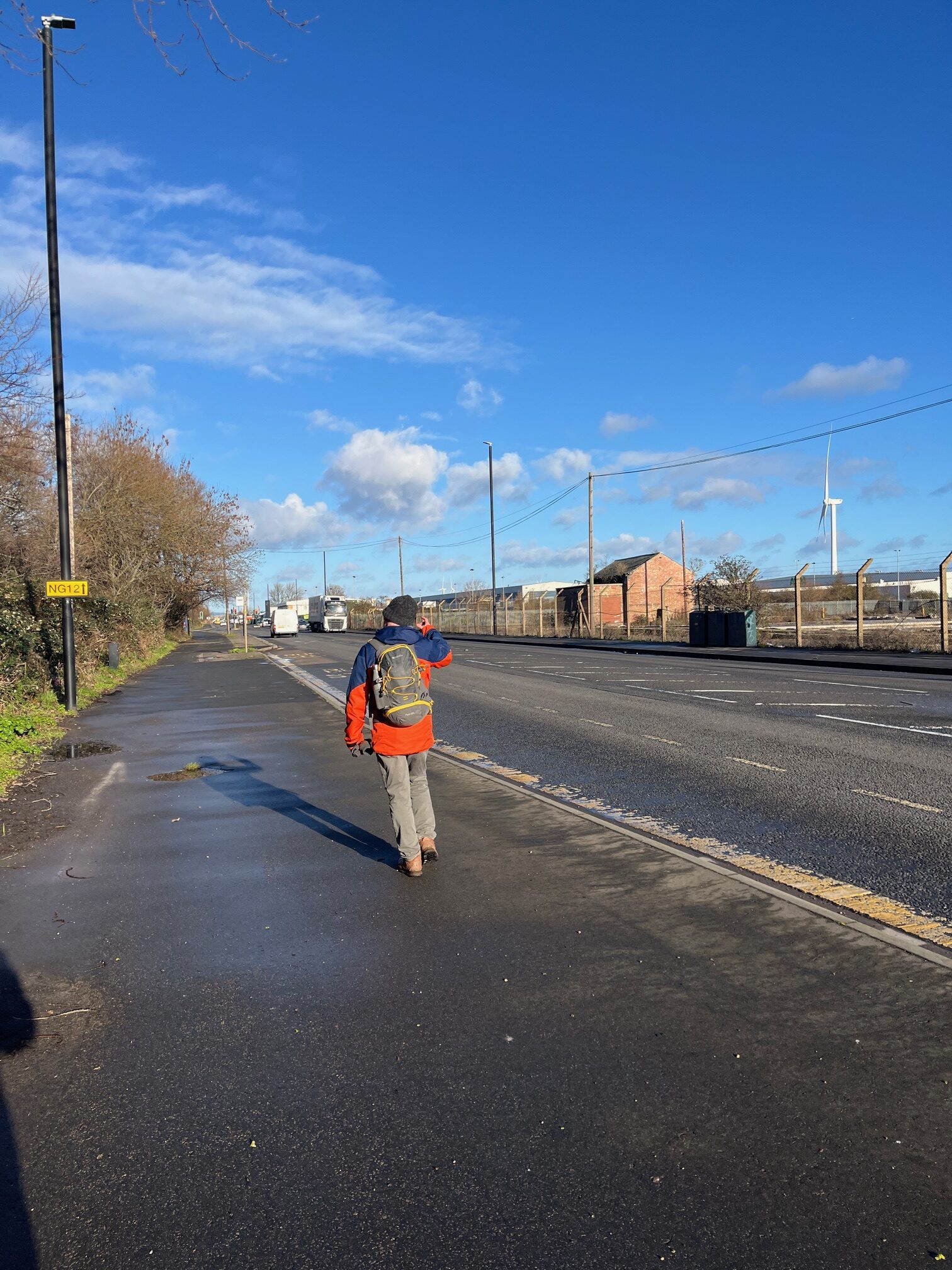
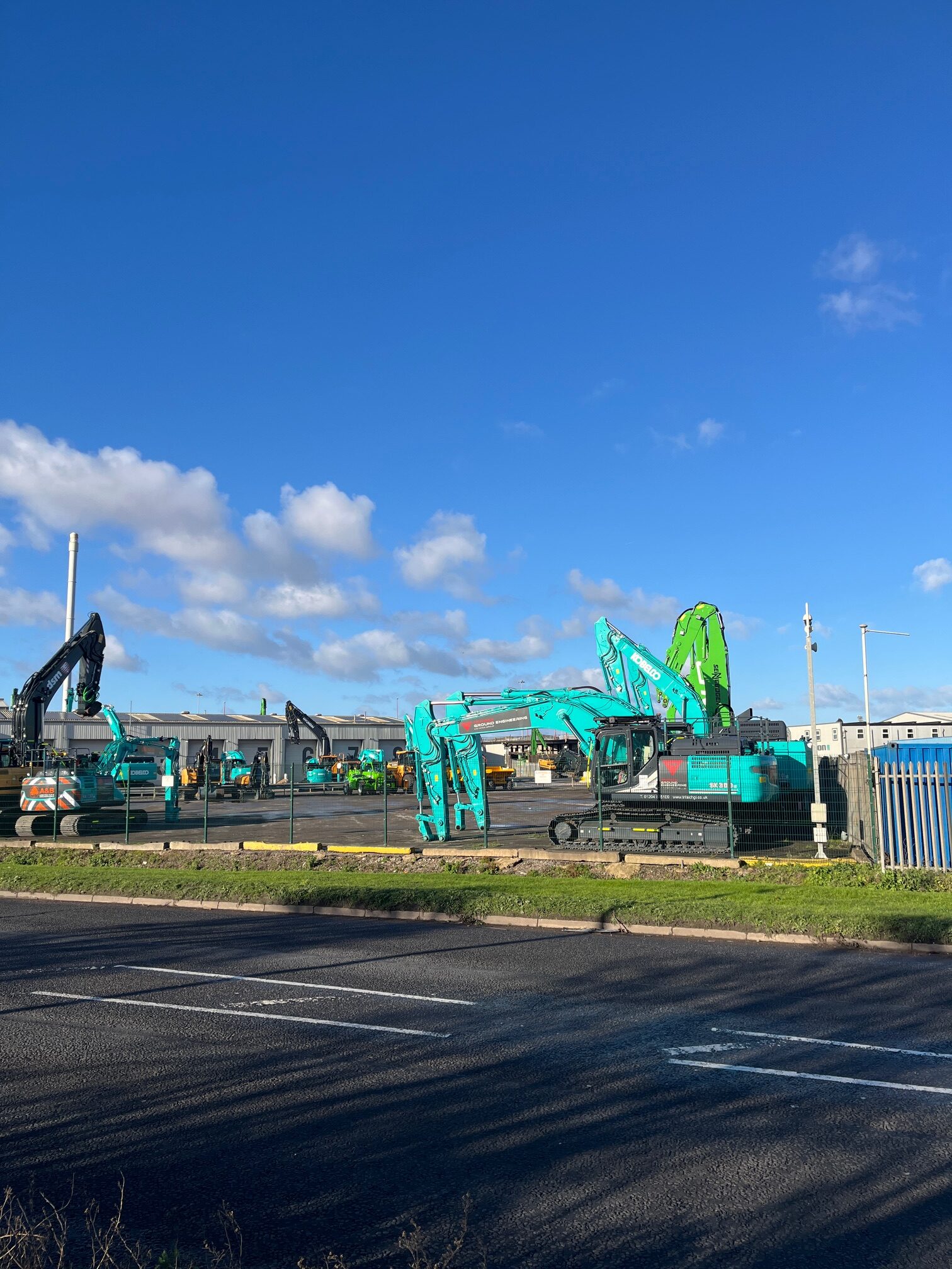
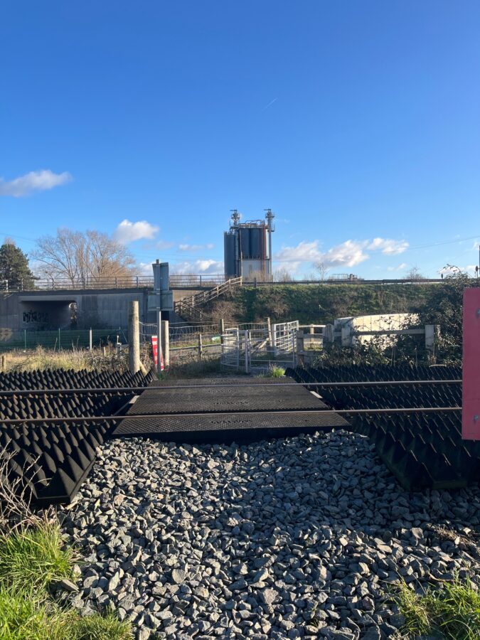
We then find ourselves walking the length of the busy Saint Andrews Road – nearly 2 miles of car industry, a cabling company, what looks like a cement works and even its own railway station. It goes on and on, but finally bends to the left and we cross over and follow the signs into a small semi-wooded sanctuary.
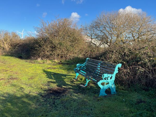
A bench at last – perfect timing for a lunch stop.
It takes another hour from here to walk to Severn Beach. Close to the road for a little while but then we taking a crossing over the railway to what feels like a newly laid path running into the little town. A cyclist stops for a brief chat about the design of the gates – clearly not suitable for getting bicycles through, despite the route being perfect for cycling.
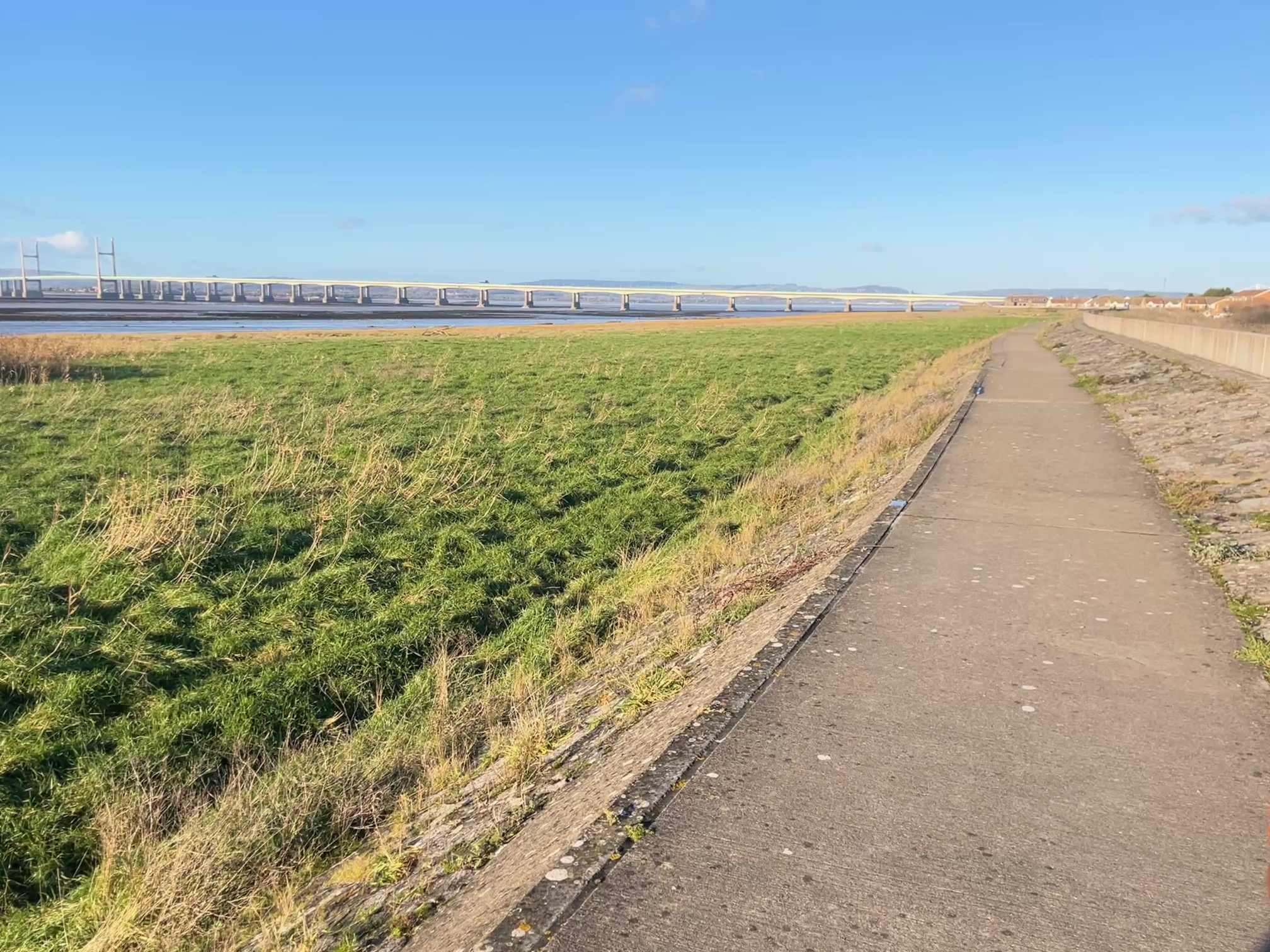
I wasn’t sure what to expect of Severn Beach but I certainly did not expect a town rich in history. It seems that between the 1920’s and 70’s day trippers and holiday makers travelled from Bristol and further afield to enjoy the Blue Lagoon swimming pool, boating lake, shopping, donkey rides and fun fairs. Today it’s a quiet residential area with fine views of the two Severn crossings and a railway line which, very slowly, but very cheaply, takes us back to the centre of Bristol.
Leave A Comment