11 Miles
We’ve opted to park our car “before 9” for an early bird ticket at the NCP in the centre of Weston-Super-Mare. We then catch the number 20 bus (although very nearly miss it while talking to a young seagull looking for food) from the interchange back to Brean Village Hall, where we finished off yesterday.
It’s a well-trodden footpath / cycle route alongside the road to the Diamond Farm campsite. Just before the campsite in a little farm courtyard is the rather smart looking Café 33 where Nigel buys a coffee and I opt not get a drink. It’s funny how it’s all about the coffee but the “speciality tea” turns out to be Twinings tea bags!
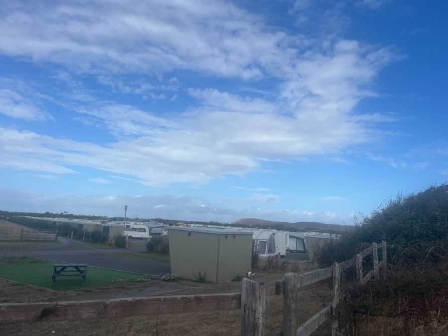
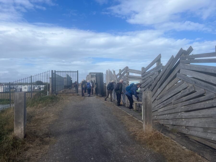
The cycle path continues around Diamond Farm where each pitch has a curious plastic hut, presumably for private facilities? Just beyond we cross the River Axe at the Brean Cross Sluice. The “Great Bird Screen of Brean” with its haphazard driftwood construction is being put to good use by a group of twitchers. I take a brief peek then continue the path along the river toward Uphill. Looking back across the river estuary to Brean Down it’s frustrating that we couldn’t follow the path yesterday.
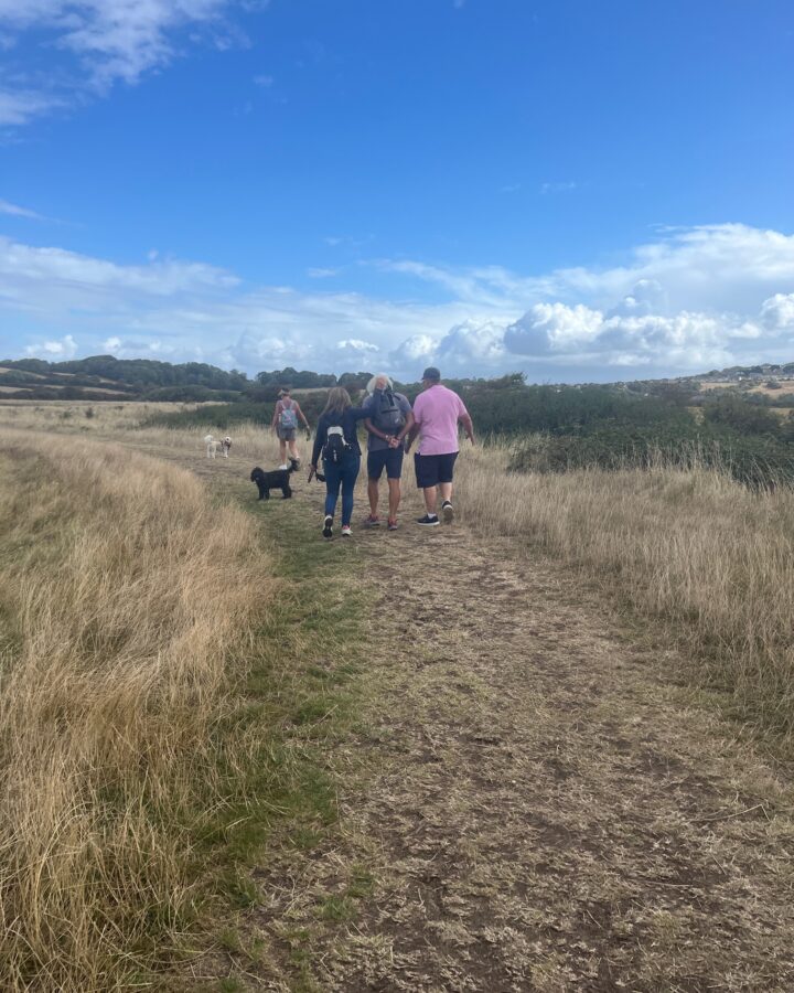
The well-trodden route looks recently formed into a straight mown mound, similar to that on the river Parrett out of Bridgwater. Passing a group of walkers, I giggle when I realise that what I think is a man’s curly white hair is in fact that of his dog’s ears, who is strapped into a backpack on his back.
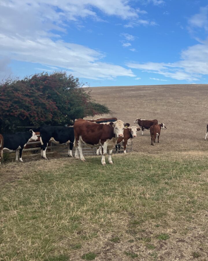
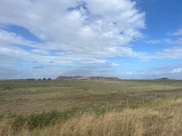
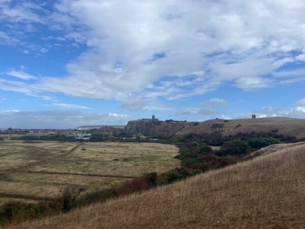
The path takes us round the edge of a field where we dodge the inquisitive, but thankfully slow-moving, herd of cows. There’s a stunning view of the Breadon Levels nature reserve on a plateau below the hills. Perched on the top is the Old Church of St. Nicholas, Uphill, from a distance we could see that the nave was roofless, but even close up the tower and the walls seem in pretty good condition. Wikipedia reveals that although church services ceased in 1846 it is still occasionally used for services.
Uphill marina is bustling, in fact bustling a little too much on this sunny Sunday in late August. Campervans are attempting to leave, day visitors driving in for the café, all about to collide. We hear horns tooting as we walk away and around Slimeridge farm on the next peninsula.
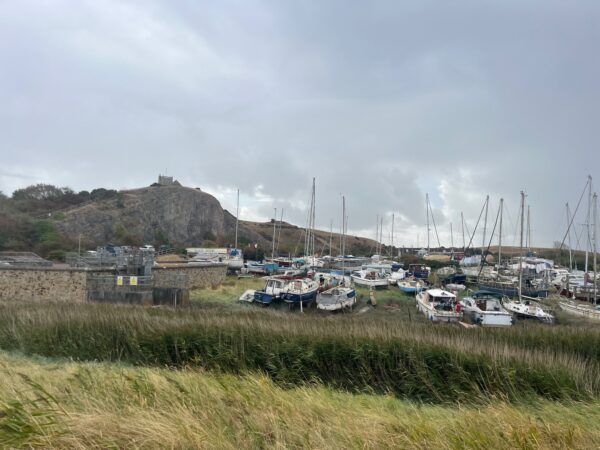
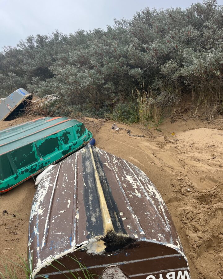
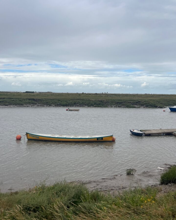
Before we know it the muddy estuary, with little wooden piers and small boats, turns into a glorious sandy beach. There are boats discarded in the dunes beside the silvery bushes of Sea Buckthorn. I can’t resist trying a few of the bitter-sweet tiny orange berries, as always, wonder why they are considered such a delicacy?
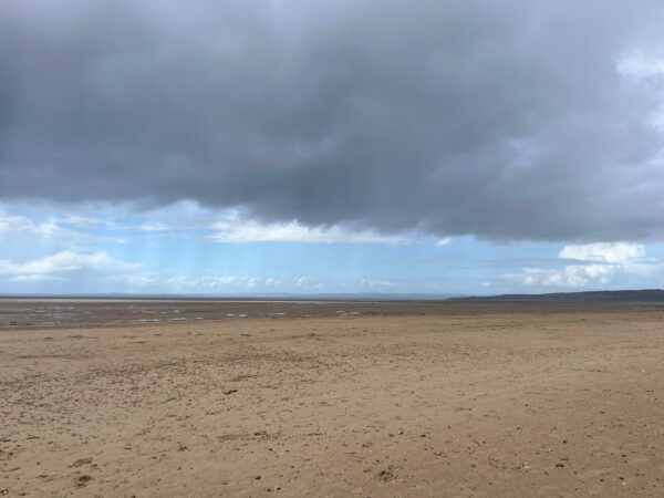
It’s a different kind of beach – cars are parked on the sand and a large area is cordoned off for sand buggies to sail across the smooth sands. Despite blue sky in the distance the clouds choose this moment to open and our hoods are firmly up.
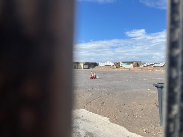
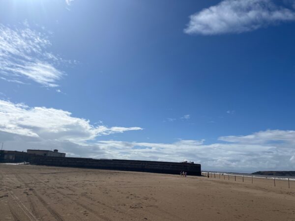
As we wander over the expansive sands toward the impressive pier our interest is piqued by a square stone building, built at the top of the beach. We circle round and find a gap to peer in – sadly the heyday of this seaside building is over. All we can see is an empty site with a pile of road cones in the middle, mirrored tiles in a wave shape shimmering against the far wall.
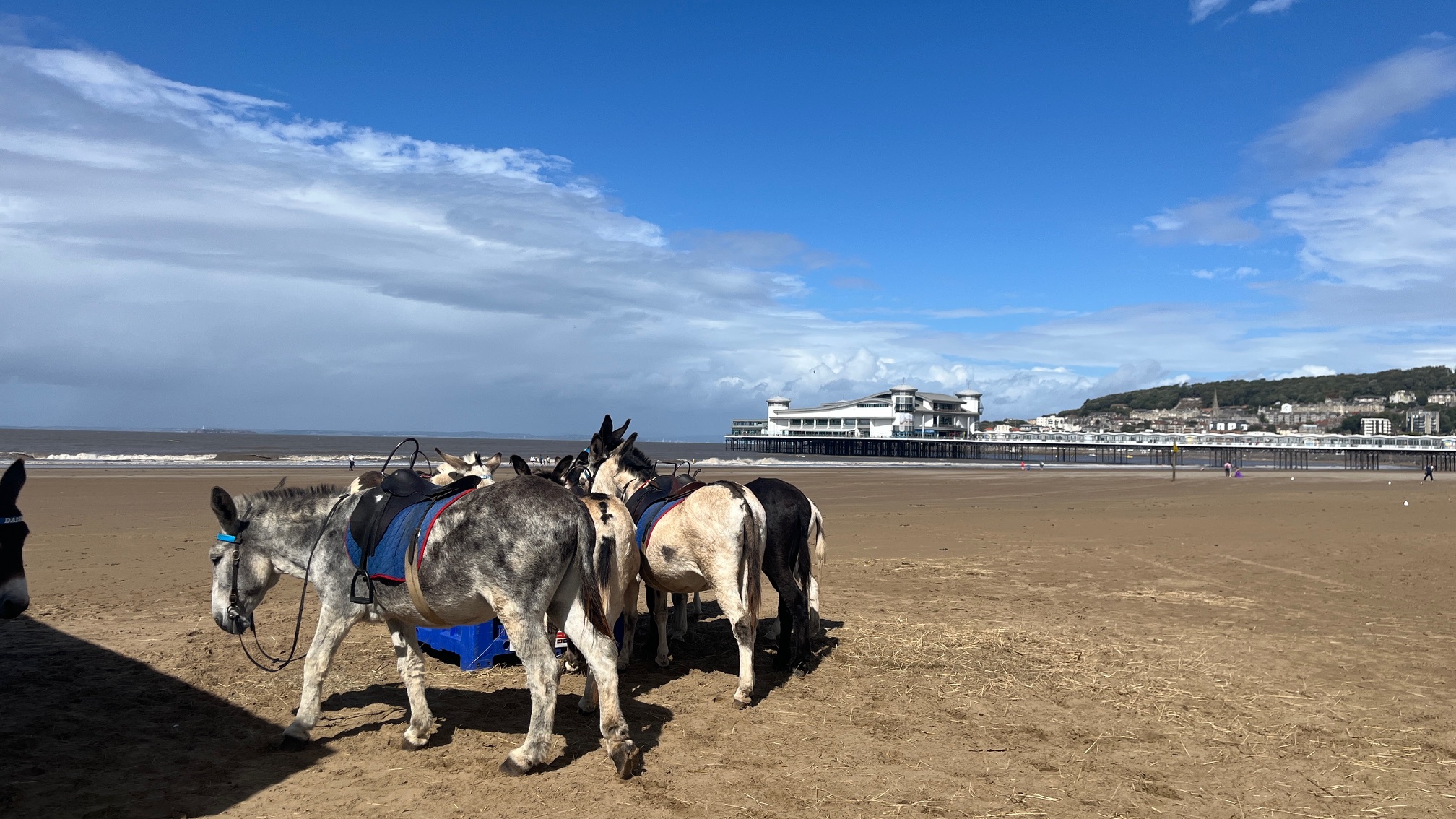
Oh my, there are donkeys on the beach, beautiful donkeys with warm soft coats and piqued ears, all bridled up and ready and waiting to be ridden. I decide 10 stone is too heavy so just give one a stroke and move on towards the pier, taking furtive looks back at the gorgeous creatures.
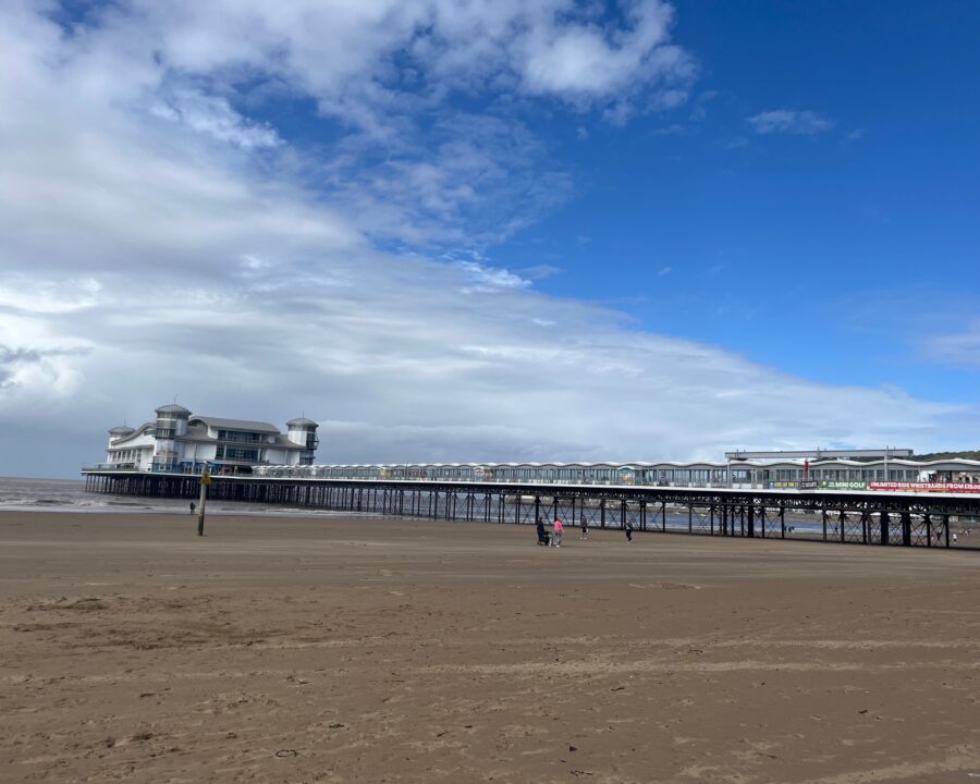
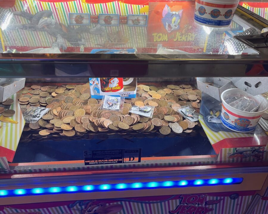
The pier is long, very long, not as long as Southend-on-Sea, but has the most impressive three storied construction at the end, with domes on each corner. We pay our entrance fee by tapping our phones and wander down, well we’re blown down. Resisting the urge to say hello to the moving dinosaur on a lead we attempt to walk round the perimeter of the building but are drawn in by the noise. It doesn’t take long to spend £1 worth of 2p’s then we return on the less windy side, stopping to devour our packed lunch on the way.
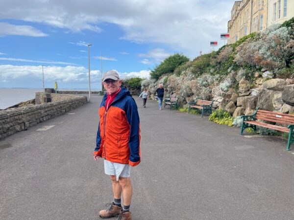
Wander briefly back to our parked car to grab a coat, then find a toilet in the noisy Sovereign Centre before continuing our route round Weston-Super-Mare.
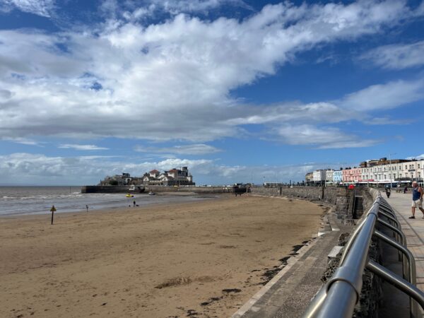
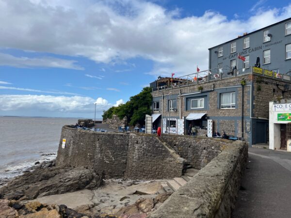
Apologies “Somerset”, but it wasn’t for want of trying, we purchase a Cornish Ice Cream to enjoy as we continue to Knightstone Island. Now, it is a curious and ever so slightly incongruous, development of apartments beside the Marine Lake. But reading up now, it has quite a history of a health resort with medicinal baths, spas and the “taking of the waters”.
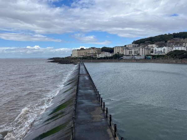
We brave the walk across the dam, where a handful of swimmers and many seagulls are braving the waters in the Marine Lake.
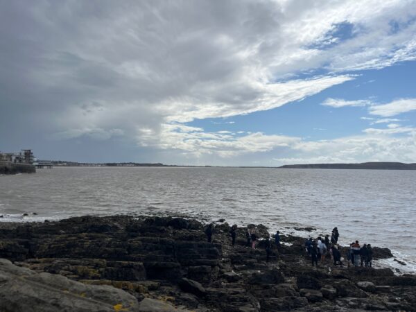
It’s funny how you can tell when a group of people are about to scatter ashes? There are twenty or so in the group, spread out across the rocks, all staring out to sea as a gust of wind blows the ashes away onto the rocks of Glentworth Bay.
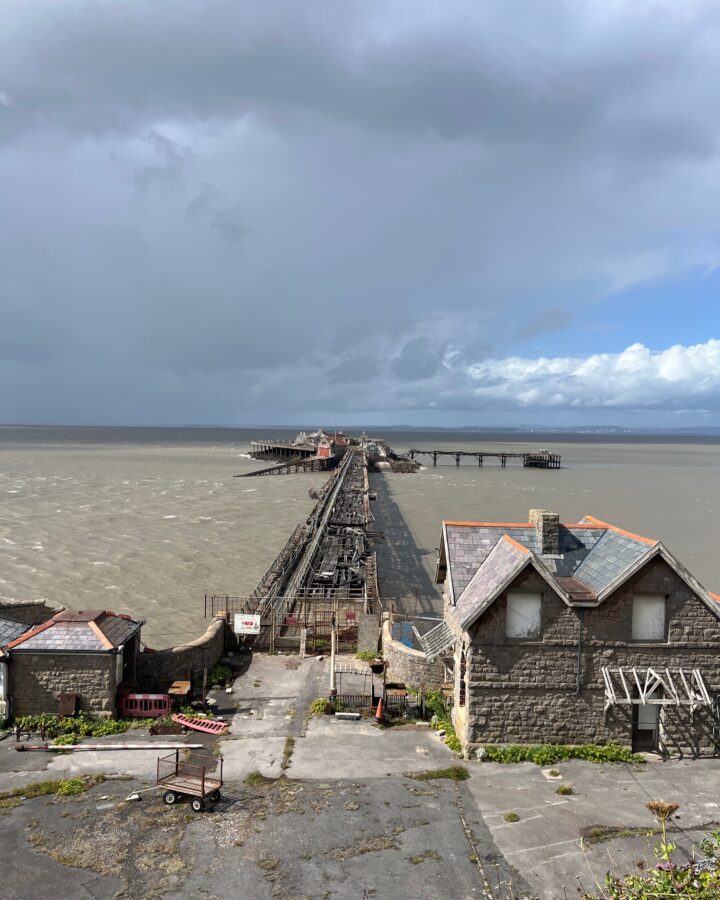
I admire the flowers spilling out of the rocks in the rock garden on the lower promenade at Anchor Head. As we turn the corner the view is dominated by Birnbeck Pier, or what’s left of it. It boasts being the only pier in the country to be linked to an island, but now, over 150 years since it opened, the pier barely links to Birnbeck Island with its derelict buildings and abandoned lifeboat station. I wish the bet of luck to the Birnbeck Regeneration Trust, North Somerset Council and the RNLI in their mission to bring it back to life.
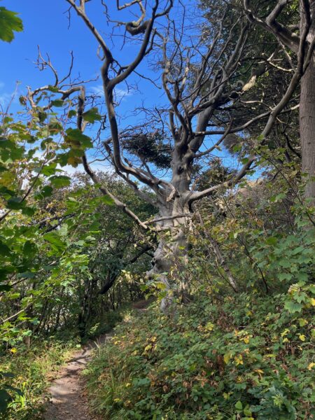
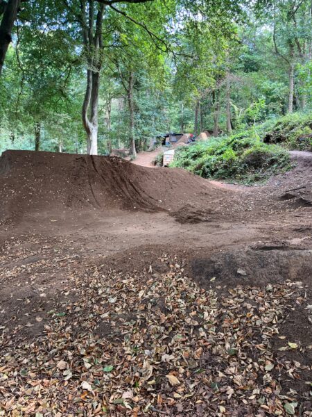
It’s time to head into the woodlands of Worlebury Hill. We take the lower path closest to the coast so don’t see any evidence of the Camp hillfort but do see a fabulous old beech tree – lumps and bumps sticking out of it’s silvery trunk like a deformed creature. The branches on top clinging on to a few leaves. It’s a delightful woodland walk with a well-trodden path, signs of autumn just about starting with some fallen leaves underfoot. As we near the end of the wood we hear music playing, it’s coming from the Sand Bay Bike Park where hard working folk are mending the extensive array of dirt jumps.
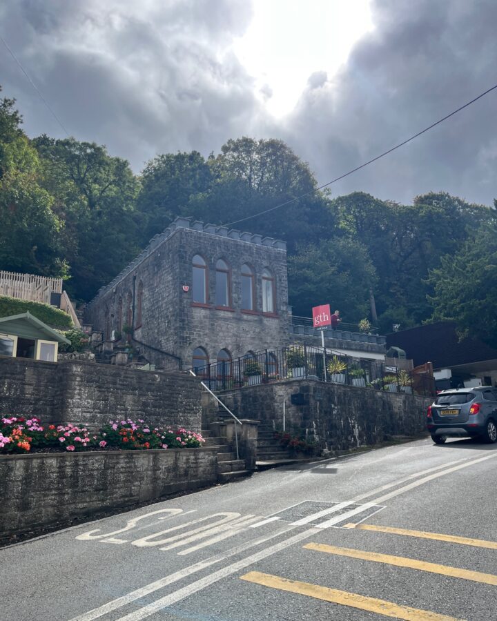
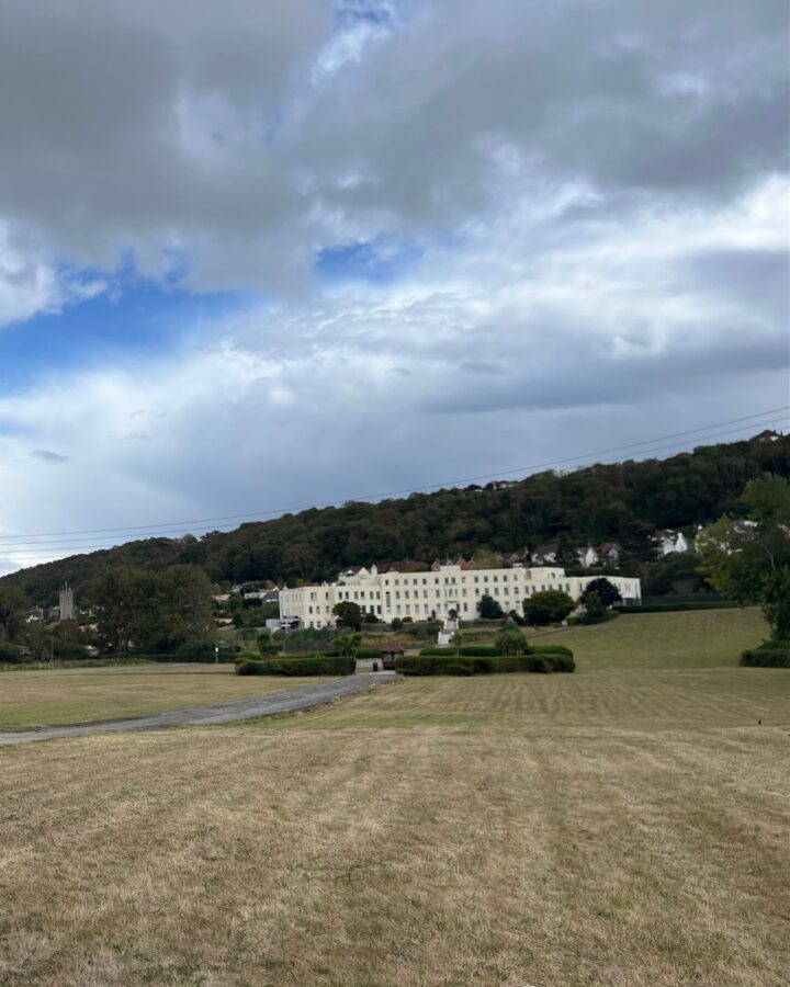
We miss the little shortcut marked on the map to Sand Bay so double-back on ourselves at Kewstoke, admiring the castellated house for sale at the road junction. The road skirts around what is marked as a convalescent home on the map – a grand art-deco building set back behind well-tended lawns. It turns out to be “Cygnet Hospital”, dedicated to the care of those with mental health issues.
Blue skies dramatically turn to grey which open up to drop more rain on us just as we near Sand Bay tea rooms. Enjoy a ginger beer, first under their covered area then in the courtyard garden, where I admire the fresh flowers in vases on each table, weighed down with pebbles in the water.
We are suitably refreshed and the sun has now come back out as we ready ourselves for the last section of today’s walk – at first a short stretch on Sand Bay then turning inland. We’re going to be on public footpaths and bridleways across farmland for the rest of today. The coast for many miles from here is inaccessible for walkers.
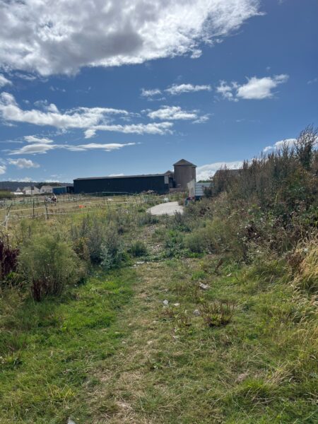
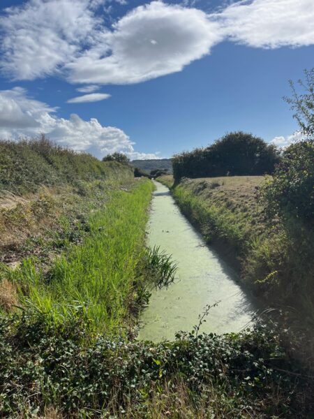
I’m always apprehensive on unknown footpaths through farms, but we’ve struck lucky with these today. It takes us less than an hour to work our way down narrow paths, over open fields and skirting the edge of fields through many gates until the last one.
Ebdon Farm has recently been purchased by the Avon Wildlife Trust who have thoughtfully attached an informative sin to the farm gate but not thoughtfully padlocked them both shut. So, we clamber over the gate and finish todays walk on the Ebdon Road just outside Wick St. Lawrence.
Sadly, it’s a long 1.7-mile trek to Worle railway station to catch a train back to our car and my feet are very sore ☹.
Leave A Comment