8 Miles
It’s been a long four months since we’ve walked the Cornish coast and I’m excited to be back. We motored down to St. Agnes last night where we are staying at a delightful little flint and reclaimed larch dwelling, named Chy Kel, on the edge of a woodland. From the large glass doors on one end of Chy Kel we can peep through the trees to the clifftop above Trevaunance Cove, dotted with tin mine towers.
It’s out of season, the tourist busses aren’t yet running, so we take a local taxi for the short drive to Portreath. Graham chats all the way about the Cornish roads, tourists with their big cars, which pubs to visit and whether we are true coast path walkers? Apparently, some are picky and won’t walk through Newquay!
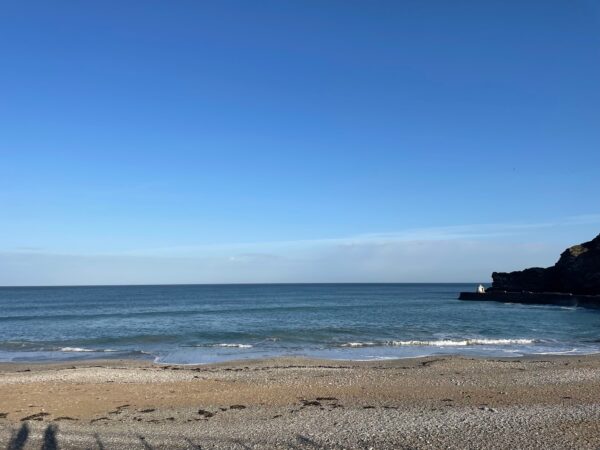
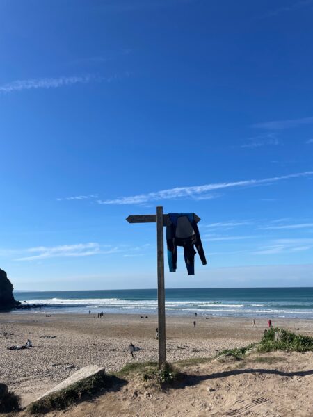
It’s 9:30 in the morning, the beach at Portreath is quiet, in fact the streets are pretty quiet too. We walk back through the village, round the very deep looking quay, bizarrely devoid of boats. It’s a five-minute walk out of the village before we come to a fingerpost leading us out to the cliff top coast path.
It’s been a toss-up whether to wear a woolly hat or sunhat, the woolly hat wins for the first part of the walk, but it’s not long into the walk that a clothing layer has to come off. It’s warm and sunny with just a gentle breeze – in fact perfect conditions for coast walking.
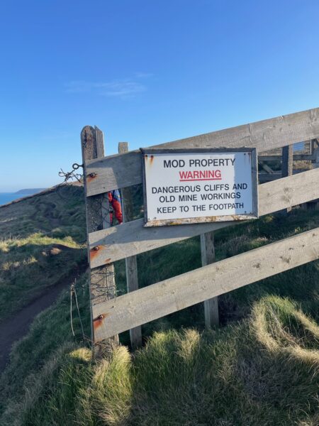
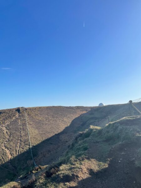
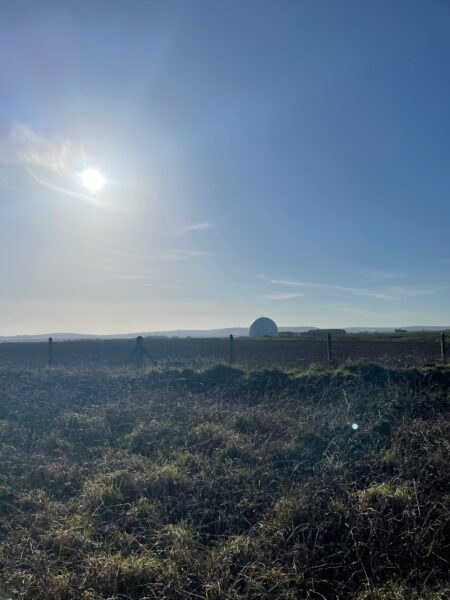
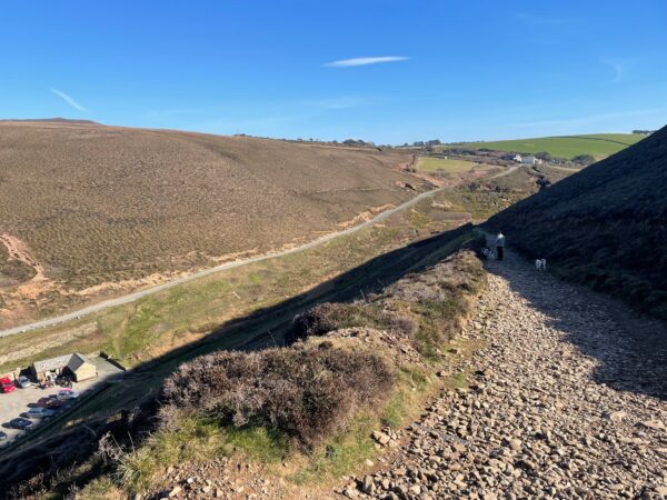
The first half of today’s walk to Porthtowan takes us round the edge of the disused Portreath airfield. We had spotted from way back, near Godrevy lighthouse, a golf ball like structure on the airfield, but from close up we don’t see it until a good half hour into the walk. The going is fairly easy – single track muddy path through low gorse, heather and grass, below a fence surrounding the airfield. MOD signs warn us of sticking to the path, due to dangerous cliffs and old mine workings.
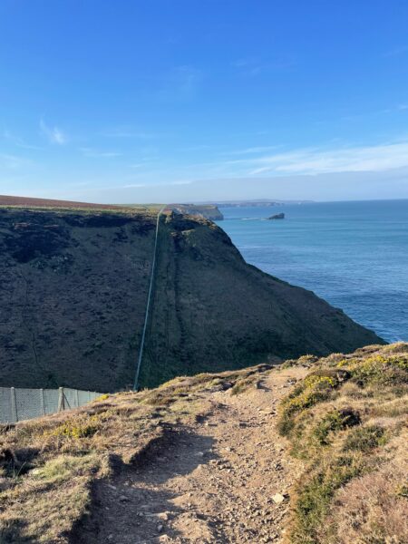
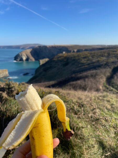
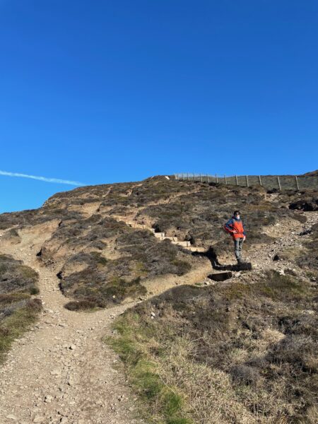
Close to the golf ball, which looks more like something else close up with its little nipple on the top, the path descends steeply down then up the other side. We have a banana break at the top before tackling the second descent into Sally’s Bottom. Here there is a delightful criss-crossing of streams, working their way through long wavy grass towards the sea. The climb up the other side is well made with granite risers held back with metals posts.
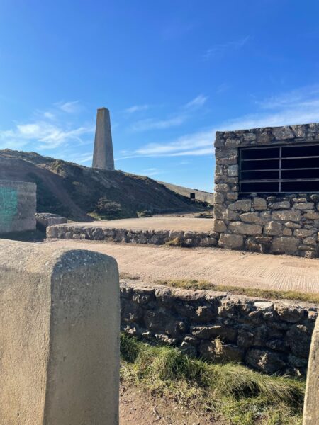
At the top of the hill are various curious bus stop like concrete structures and pill box like buildings in a trench, leading to what we find out is Wheal Tye, a former tin mine.
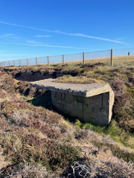
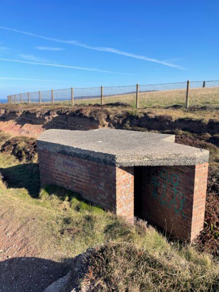
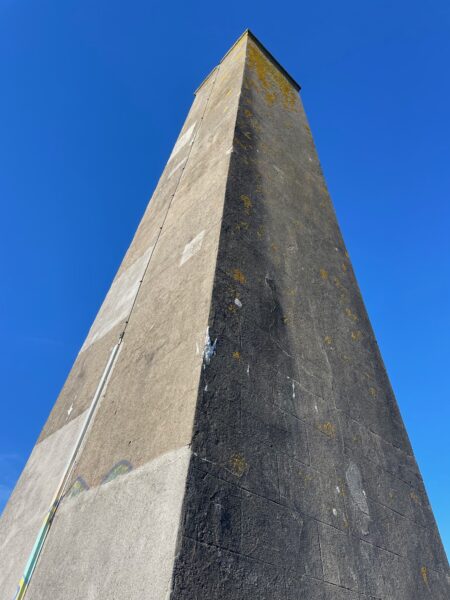
Various structures remain, including a tall square edged chimney stack with a concrete flue running along the ground. It’s quiet and still here, we sit for a while and contemplate what it must have been like in the 18th, 19th and even 20th century when mining was taking place.
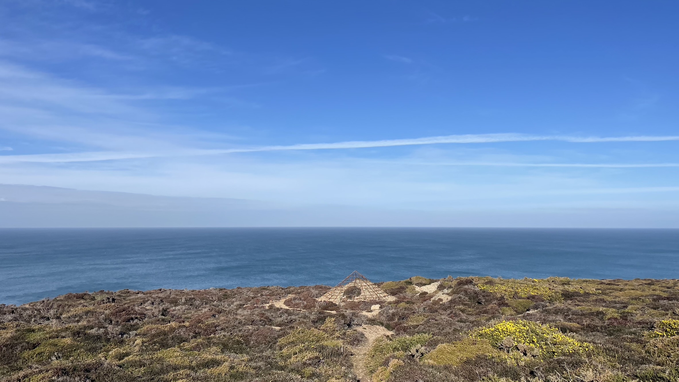
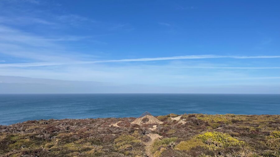
On the final stretch to Porthtowan we see some strange web like metal structures resting over disused shafts, heather and gorse starting to scramble over them.
We have seen just one other person on this four-mile stretch from Portreath, we step aside for him as he runs past us in both directions. As we walk into Porthtowan we pass four new matching grand dwellings are in the end of the construction stage. Large round windows will have a fine view over the bay and the sun rise, but at this time in the day (not yet midday) are already in deep shade.
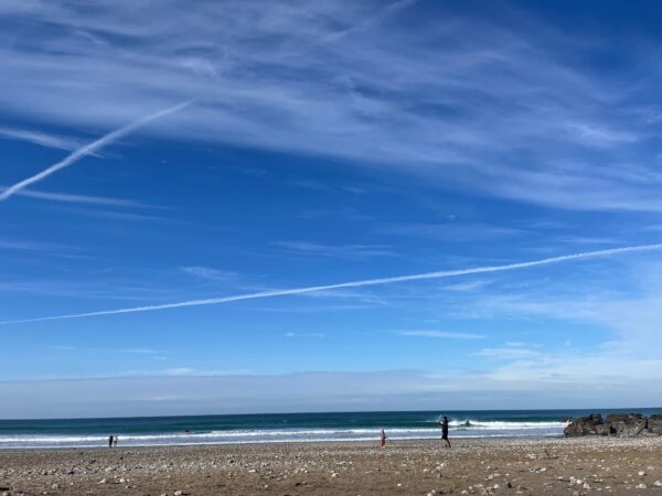
Porthtowan beach is busy with winter holiday makers, braving the waves for the surf, building sandcastles and enjoying todays sunny weather. We stop for a sandwich on the beach, then a wander round a lovely beach shop. The lady shopkeeper enquires where we are walking – apparently, we have done the hard bit and she wishes she could go on a walking holiday too.
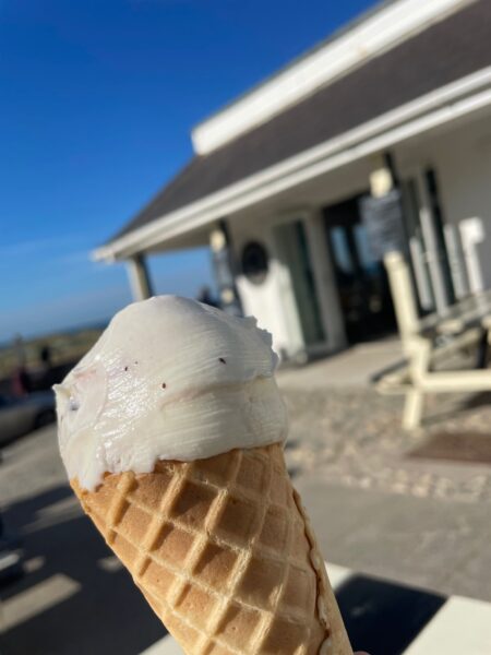
Moomaids of Zennor have a little ice cream café. Why didn’t I have their infamous shipwreck flavour? Tried and tested and the best! But the raspberry, meringue and chocolate chip is creamily delicious.
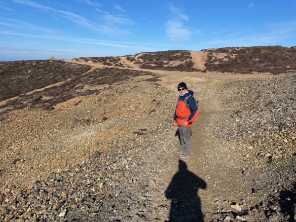
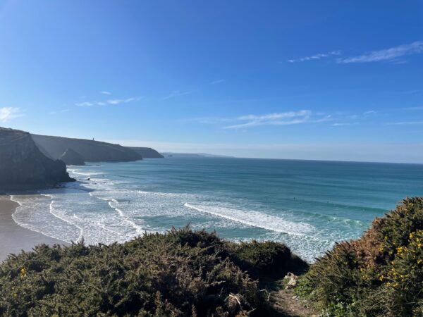
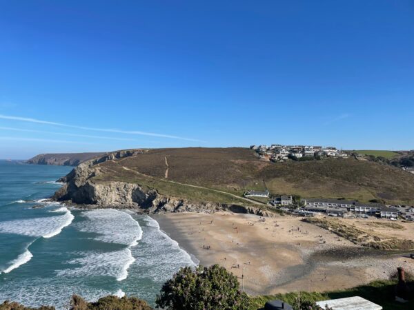
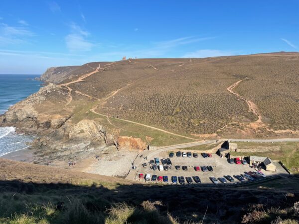
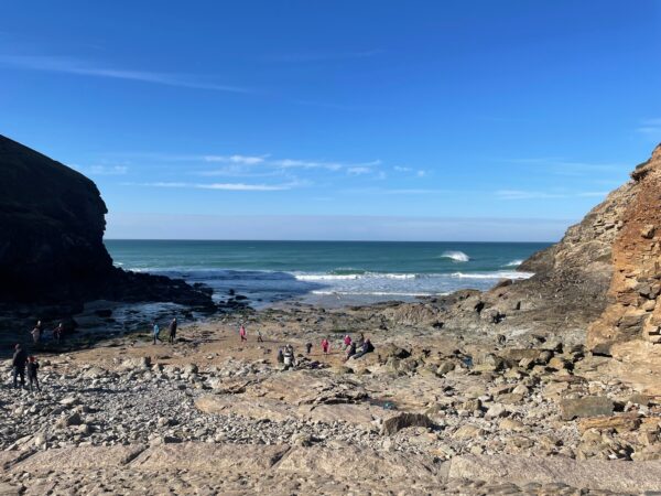
Climbing out of Porthtowan it’s a whole lot busier. The paths are wider, the landscape very open, in fact we’ve seen next to no trees on today’s walk, just gorse and heather. A granite sign informs us we are on Wheal Charlotte, owned by the National Trust. As we arrive above the tiny beach at Chapel Porth the path heads inland a short way before doubling back towards the National Trust car park and café. People are milling on the beach and a few surfers catching the waves, perilously close to the cliffs. I can’t watch.
There are a handful of other walkers, young and middle-aged couples, and a group of elderly walkers with Leki poles and Nikwax jackets, the same as me! We find ourselves smiling and saying hello to the same couple as we each stop to admire the view or take a refreshment break, leap frogging each other (not literally)!
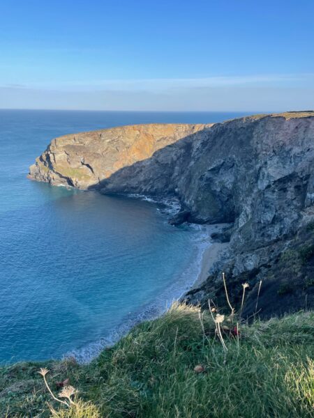
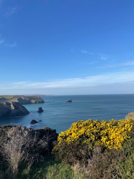
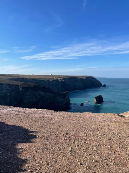
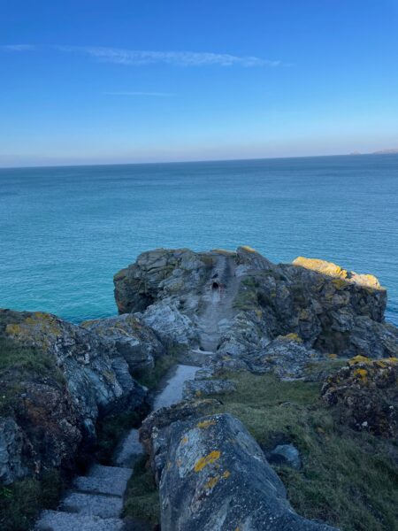
The going underfoot is not easy – the thin layer of grass and soil worn away to the rocky bedrock, quite harsh underfoot and continually trying to trip me up! This is made up for by the scenery which is glorious on this stretch of coast. Looking back, we can see the headland beyond St. Ives Bay, the sunlight shimmering on the sea as it rolls to and fro the cliffs. This view is lost as we round St. Agnes head and are now looking towards Newquay, some of the cliffs ahead a vibrant deep red colour.
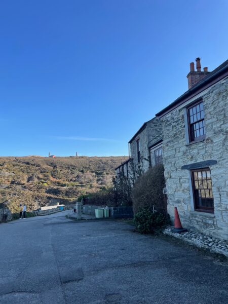
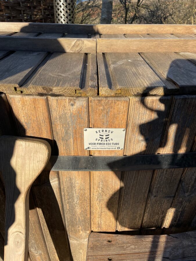
By 3 o’clock we are walking into Trevaunance Cove, passed the lovely stone houses, delightfully un-gentrified. Time to enjoy a piece of my home-made fruit loaf on the beach before the traipse up to the village and a dip in our wood fired hot tub at Chy Kel.
Leave A Comment