15 Miles
After an overnight stay at our cosy holiday cottage in Redwick we drive to Chepstow, pay for two days parking and find our way to the start of the Wales Coast Path. It takes us a few minutes to set the tracking on the coast path app, then we take a few photos and set off.
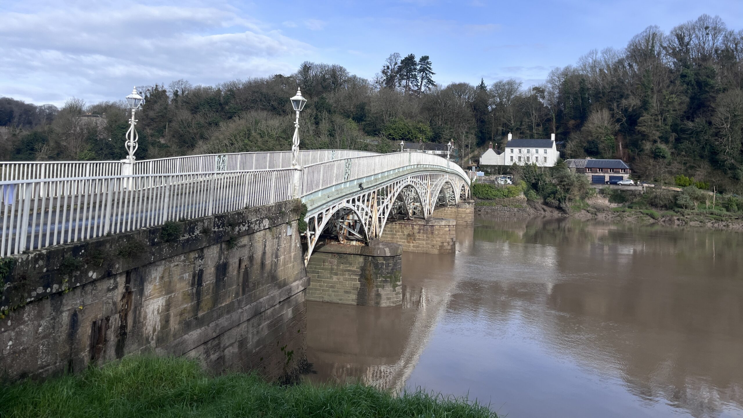
The first part of today’s walk involves re-tracing our steps from back in January. I feel like I’m narrating the book “We’re Going on a Bear Hunt”, and yes, it is a beautiful day!
“Uh-oh! Back through the subway, just a short one under the road. Toot toot!
Uh-oh! Back past Tesco, no need to nip in today. Whoosh, whoosh!
Uh-oh! Back past Chepstow Railway Station. Chuff, chuff!
Uh-oh! Back up School hill, thankfully the only steep incline today. Puff, Puff!
Uh-oh! Back through Chepstow port wall, a medieval town wall. Wow, Wow!
Uh-oh! Back past the monkey puzzle tree, standing tall and proud in a front garden. Spikey, Spikey!
Uh-oh! Back through the woodland, full of beautiful bird song. Caw, Caw!
Uh-oh! Back past the football pitch, no one around today. Kick, Kick!
Uh-oh! Back under the underpass, incredible graffiti art. Quack, Quack!
An hour into our walk and we’re now experiencing pastures new. First off, we skirt around an industrial estate and the M48 motorway before squelching around the edge of an arable field. Across the next field and its time to stop for our first refreshment break. We find a stile alongside a magnificent row of poplars dropping their characteristic red tinged catkins to the floor.
I find myself donning sunglasses, a sunhat and even removing my coat as I admire the pink blooms of a magnolia against the azure blue sky. On the edge of the village of Mathern we discover St. Tewdric church. A wooden statue of a very proud looking King Tewdric standing in the grounds. We stop to read up of his life as a hermit and leading the Celts into battle.
Above us I admire the green clusters of mistletoe encompassing the bare branches of its host tree, we’ve seen a lot of these scrumptious balls of growth around here. Just past the churchyard the path pops out on the edge of another field, the stunning silhouettes of pine trees on the hill top in front of us.
As we walk across the field the grass on the other side of the ditch looks pristinely pruned, then we see the tell-tale sign of flapping flags of a golf course. Theis is St. Pierre Hotel and Country Club.
Thankfully the “Bull in field” appears to be busy elsewhere today. But the ground underfoot is starting to get extremely sticky and squidgy. We say hello to the lady cows then take a slight wrong turn before crossing the brook, then the railway.
Lo and behold we are on the river Seine estuary (or is it the sea?), well I guess it’s the Bristol Channel. At first, the path is below the sea wall but then atop, as we admire the curve of the Prince of Wales bridge, aka the M4.
As we’re nearly half way through today’s epic long walk we decide to stop on a wooden bench to enjoy tuna and cucumber sandwiches, whilst observing the steady flow of traffic over the bridge. It’s somewhat noisy.
Continuing on, the path pops out onto a minor road, to our right workers are hacking back a row of trees below the overhead cables. Typical, after just stopping for our picnic, we find ourselves at Black Rock picnic site. We stop to admire the sculptures – one made of steel, standing proud looking out to sea, the other of wood construction depicting a fisherman. But not any old fisherman, it seems they’ve practiced the art of Lave netting in the Severn Estuary for centuries. We read up about the skill of finding the right moment in the tide to capture fish in a special Y shaped net, made from pine, willow and ash.
There are plentiful dog walkers about, not all of them as thoughtful as others.
We soon find ourselves passing through the little village of Sudbrook, which sprawls along the estuary, new houses meeting a terrace of stone cottages, all over-shadowed by the huge brick pumping station. We poke our noses briefly into the Tunnel Centre Museum within the Sudbrook club to find out about the workers who lived, and sadly died, here while building the Severn tunnel.
The coast path then passes more brand-new homes stretching out towards the Severn crossing, then underneath the bridge and for a brief stretch sandwiched between motorway and estuary.
It’s been difficult to tell from the map whether we’ll be forced to leave the river at Rogiet Moor firing range, but all the signs suggest the detour is necessary. So, head back over the M4 then left on a long minor road. We pass a lady neatly loading wood into a large charcoal stove then Caldicott railway station.
The road reaches out ahead of us as we’re sandwiched between woodland. There are, what I believe, dormouse nesting tubes attached to some trees – I wonder if they use them? We cross back over the motorway then criss-cross a couple of fields towards the estuary. Heading west we walk atop the sea wall, mud flats to our left, open fields to our right and nothing to buffer us from the cold wind.
My eyes are drawn to the flotsam and jetsam on the water’s edge. I lose count of the number of buckets resting alongside the bone-like limbs of trees, washed by the constant ebb and flow of the water.
The next hour and a half are a slow trudge on the hummocky grassland atop the seawall with just the sound of a skylark to lighten stroll, it’s definitely not a hike by this stage. Pass over Magor Pill, Cold Harbour Pill then at long last we see the large windmills of Redwick. At the sluice we take the footpath to the village and our cottage.
Leave A Comment