10 Miles
After a delightful two-night stay at the Porlock Weir hotel, I check out while Nigel takes the car to Minehead, returning on the community bus.
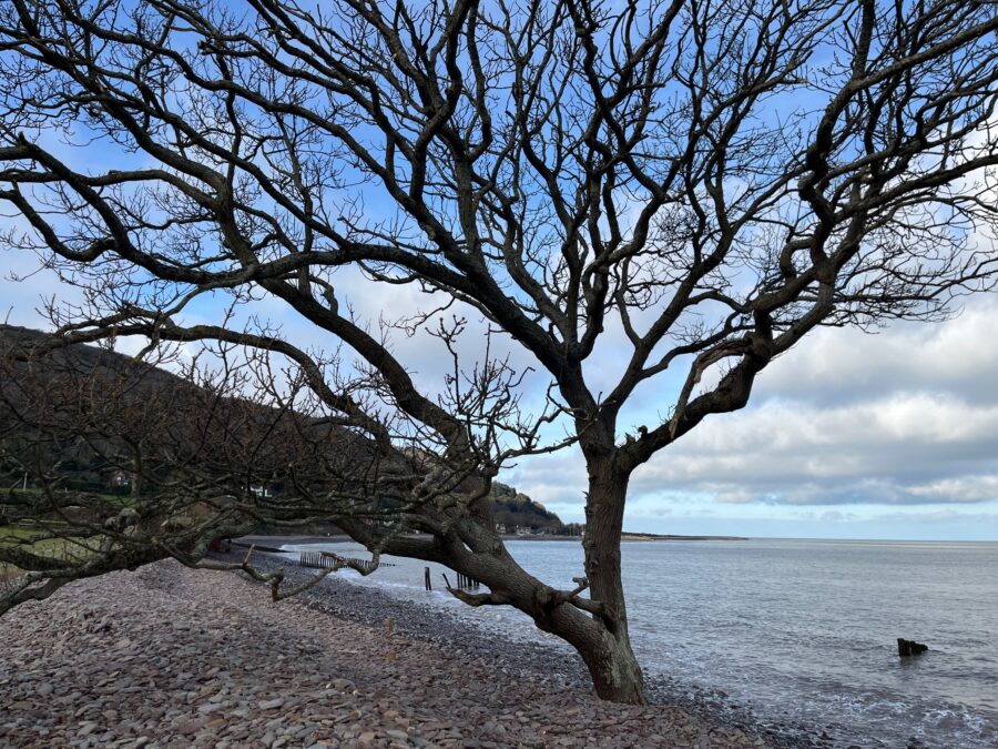
The sun is shining across the bay as we look across Porlock’s stoney beach to the modest hills of Hurlstone Point. Porlock’s pebbles are mottled greys and pinks, tumbled smooth and not too difficult to walk over. I marvel over a modest sized oak tree with its trunk constantly licked by the salty sea, it’s surviving, but I’m not quite sure how?
The path turns inland where’s there has been coastal re-alignment between Porlock Weir and Bossington beach. It gets somewhat muddy on this stretch with paths at times turning to mini streams. But we are distracted by a farmer and his dog in the early stages of herding some frisky sheep who evidently don’t want to go where they’re being told to!
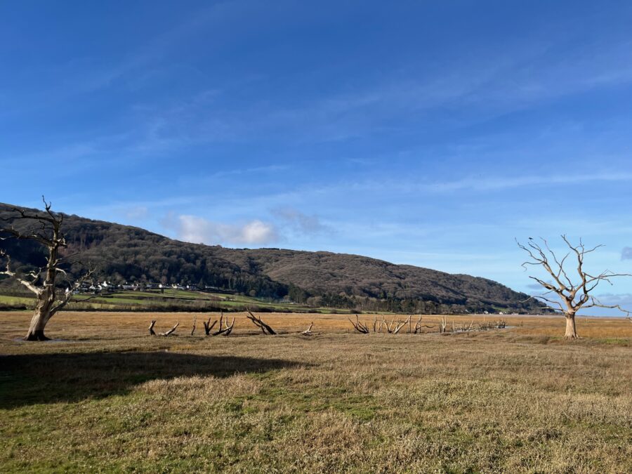
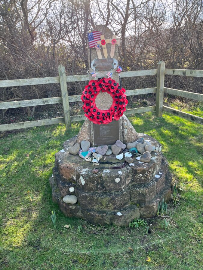
As we continue on the new path there are signs of farmers fields now flooded by the re-aligned sea – trees and hedgerows turned to organic wooden sculptures, now providing perches for sea birds. We stop to read about an American aircraft that crashed here due to poor visibility in 1942, the memorial adorned with heart shaped stones and star and stripes bunting.
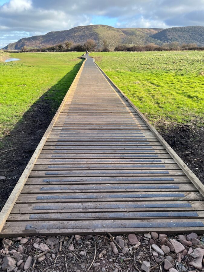
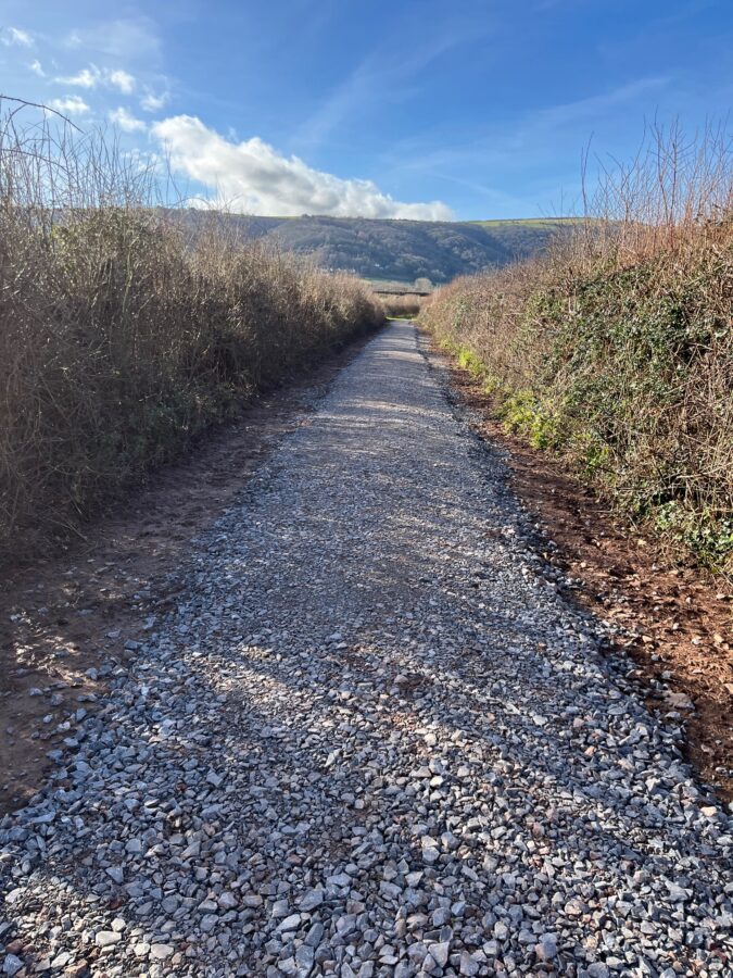
Muddy paths turn to newly constructed boardwalks which turn to newly stone surfaced roads, all seemingly part of the coastal re-alignment works.
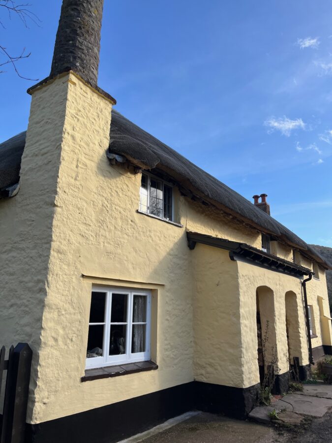
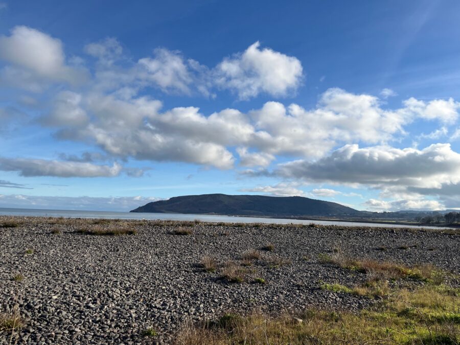
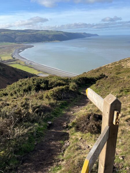
We pass round the edge of the tiny hamlet of Bossington, its stone cottages, painted a custard-ly yellow colour with the cutest of round chimneys. We take the bridge over the fast-flowing stream and up to the National Trusts Hurlstone Point. The finger post says seven miles to Minehead, the end of the South West Coast Path!
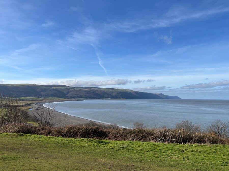
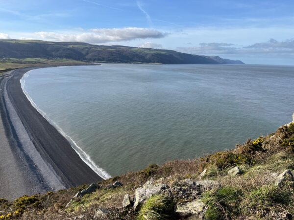
It’s so often the view looking back which is the most striking, today being no different as we turn to admire the curve of sea lapping at Bossington beach in Porlock Bay.
We are pre-warned of the next section of coast path being exposed by the Caution sign –
“In Windy Conditions Take Precautions When Walking The Coast Path Beyond The Old Coastguard Tower. Narrow Path & Steep Cliff Edges”
Any sign written with every word beginning with a capital letter is meant to be taken seriously. However, todays weather is calm – very little breeze and mostly sunshine, so we hitch up our rucksacks and head on.
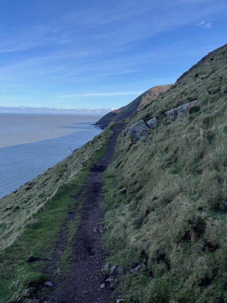
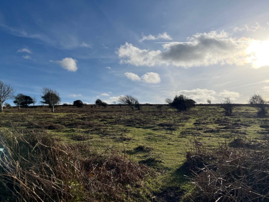
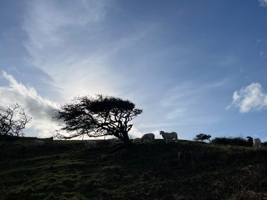
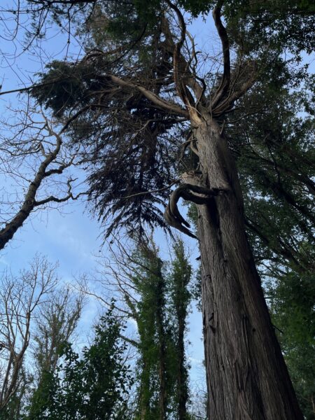
The three-hour trek from the old coastguard tower to Minehead is a joy – from single track paths hugging the cliff edge to open grassy paths, dodging sheep as we head inland through Grexy Combe and into woodlands at North Hill.
We finally pop out at a couple of cottages at the end of a dead-end road on the outskirts of Minehead. They seem proud of being a focal point of the South West Coast Path with it stencilled onto wooden step risers and on the gravel track.
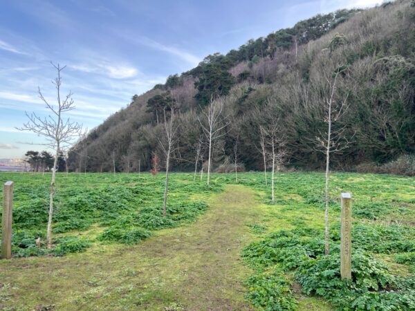
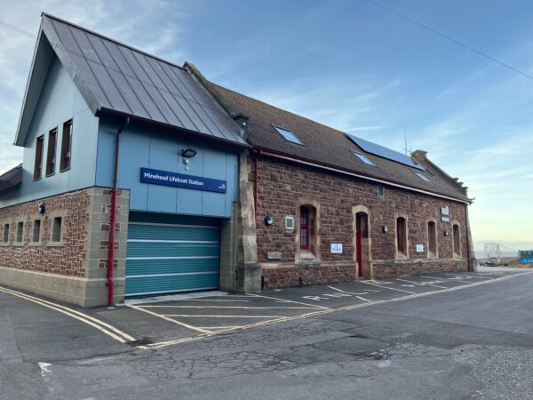
We think we are nearly there but the path takes us back into woodlands finally emerging on a grassy area, with newly planted trees for the Queens Green Canopy and the lifeboat station.
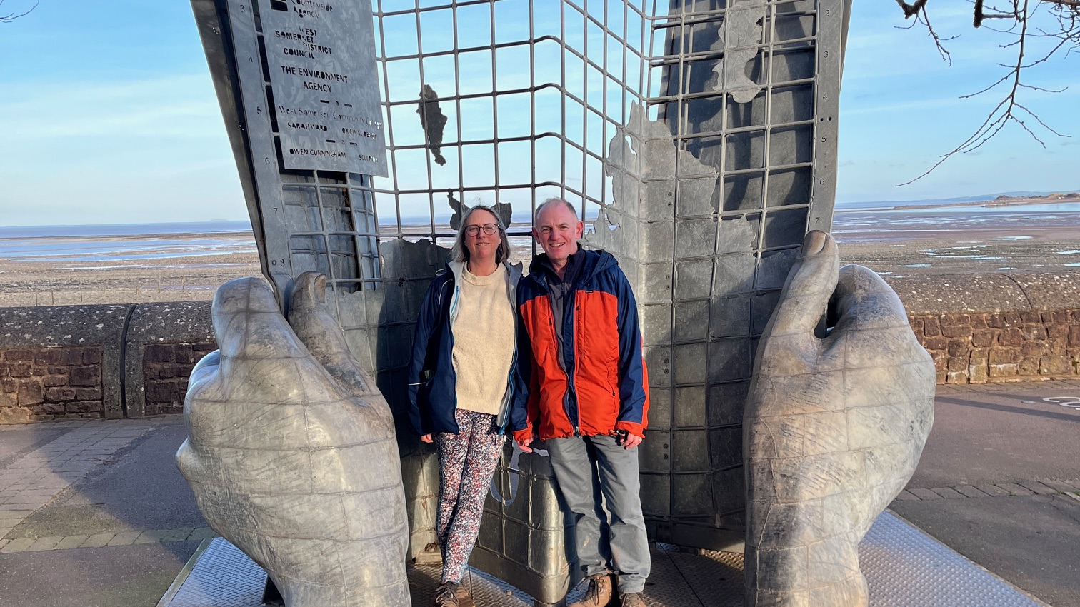
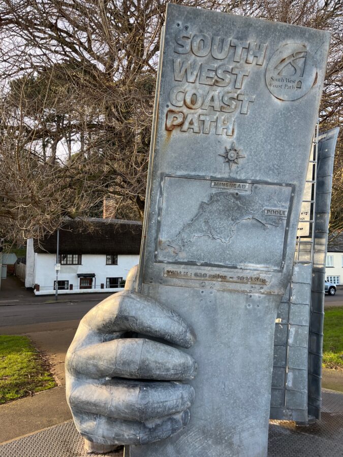
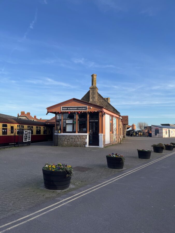
Minehead town sits before us on a very low level, close to the sea, the spires of the Butlins camp piercing the sky. Before we know it, we are posing for photos in the safe hands of the sculpture which marks the start, or for us, the end of the 630-mile-long South West Coast Path. We are proud to correct the couple who share the moment with us, that in fact we started at Dungeness, not Poole, and have walked nearly 850 miles.
It’s a fitting spot to finish this holidays walk, next time we will be on the King Charles III England Coast Path heading towards Bristol.
Leave A Comment