9 1/2 Miles
It’s as if we weren’t meant to achieve this leg of the coast path what with April’s storms and yesterday’s 200-mile detour to sort out a burst pipe at home. But we arrived at the Red Lion in Clovelly last night after a whole day of driving on the hottest day of the year so far.
After our overnight stay and breakfast at the Red Lion we drive back up the steep hill to the visitor centre car park to meet our friendly taxi driver. He turns out to also run the village b and b and gives a real insight into living in the village – carting (literally) food and coal to his home and serving double yolk fried eggs to a customer this morning who only ate the white. We come to a stop along the quiet lanes as he says hi to the local chicken farmer.
We start our walk above the quay where the path leaves the road, by Rocket House, and we set to, walking poles swaying, over Warren Cliff towards the ruined tower
The going tarts easy on open grass and perfect for our gentle warm up before descending gently to Blackpool Mill with its solitary house and high stone bridge over the stream.
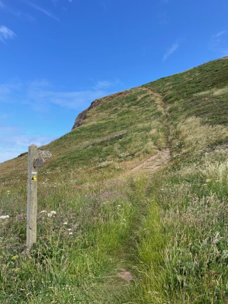
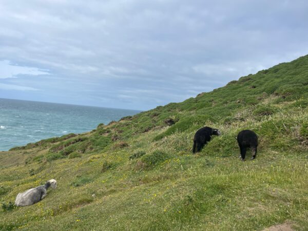
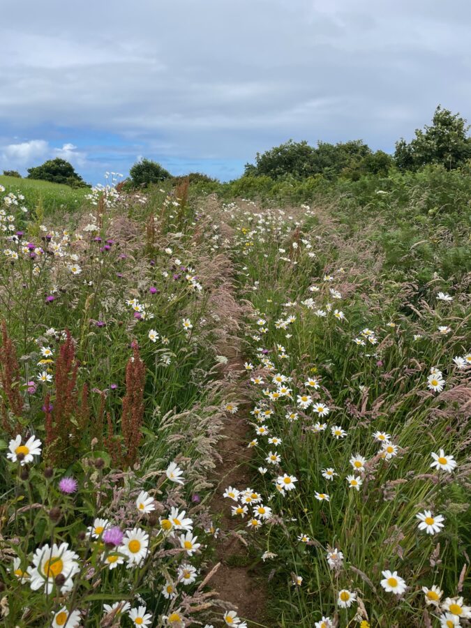
Climbing the other side over Blagberry Cliff the scenery couldn’t be more perfect – white fluffy clouds over a blue sky, grassed covered hilltops and field filled with wavy grass and umbels of wild carrot.
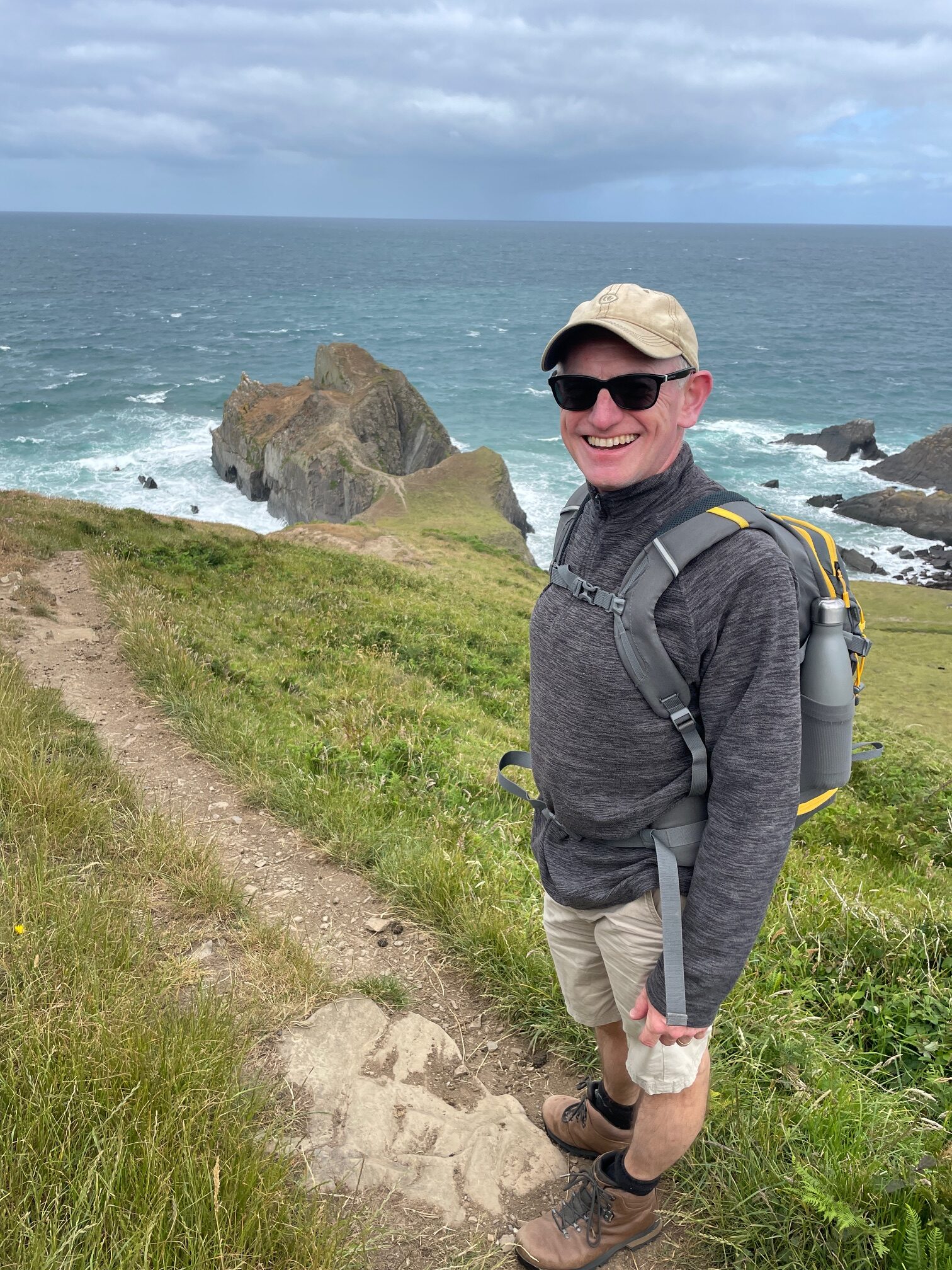
Cross the waterfall, say hello to the grazing goats who appear unsure about posing for their photograph! Then not wanting to disturb a sparrowhawk hovering over its prey we stop for a while and admire. Nigel looks relaxed posing for his photo at Gull Rock, we were unaware of how tough the walk ahead was.
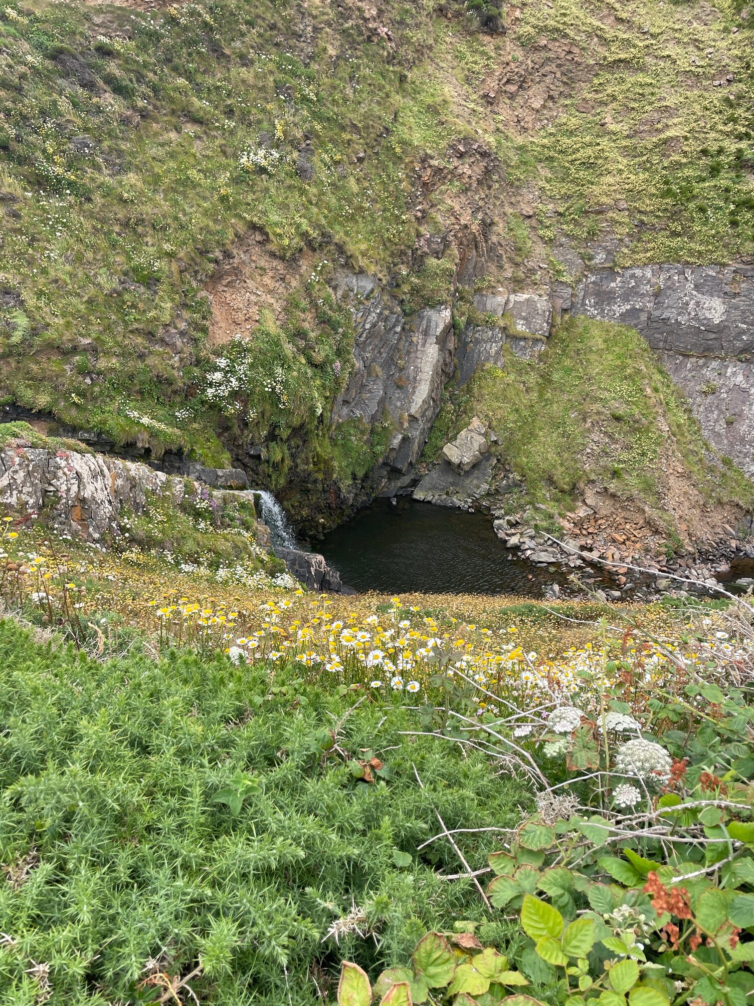
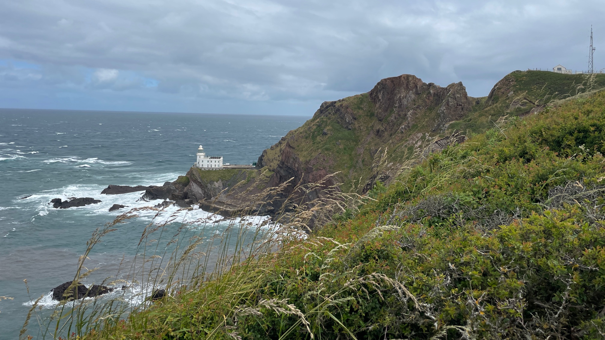
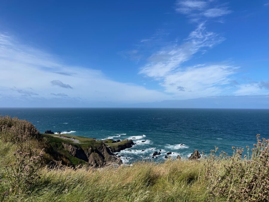
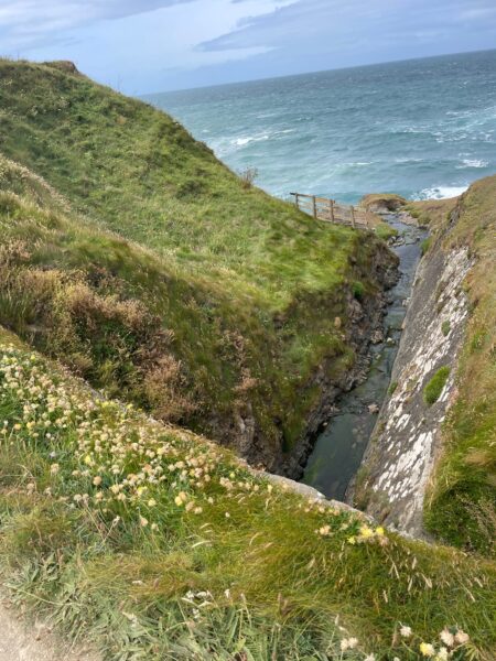
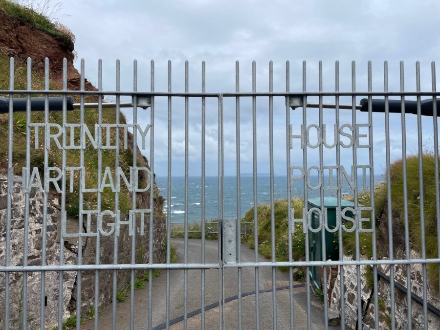
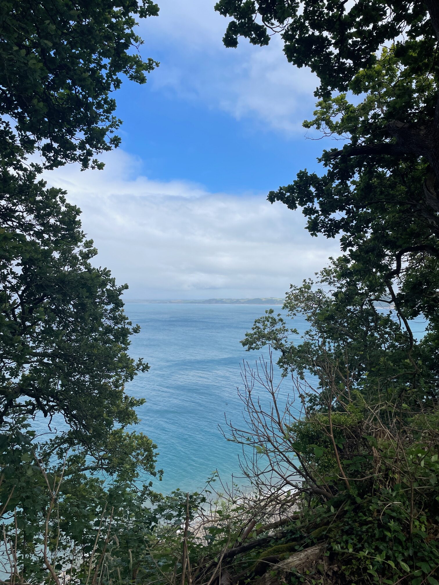
We cross the stream at Smoothlands and look back at the perfect dipping pool and waterfall, then at Blagdon Cliff catch our first glimpse of the Hartland Point lighthouse perched at the bottom of the point. Arriving at the point we join a small cluster of people huddled at the railings looking over, then walk down to the road and peer through the gate leading to the lighthouse. We cannot see much more than the road winding round the cliff.
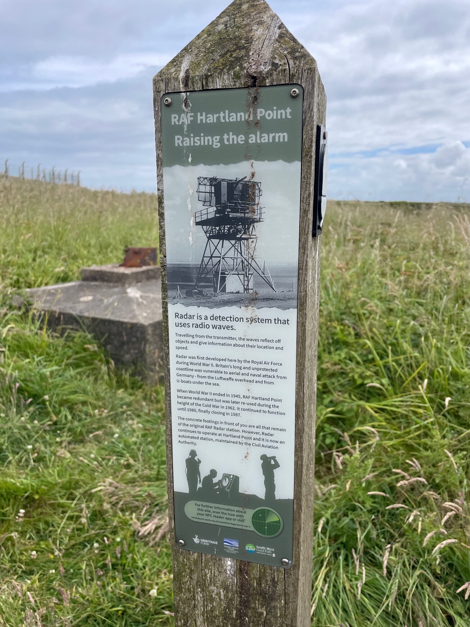
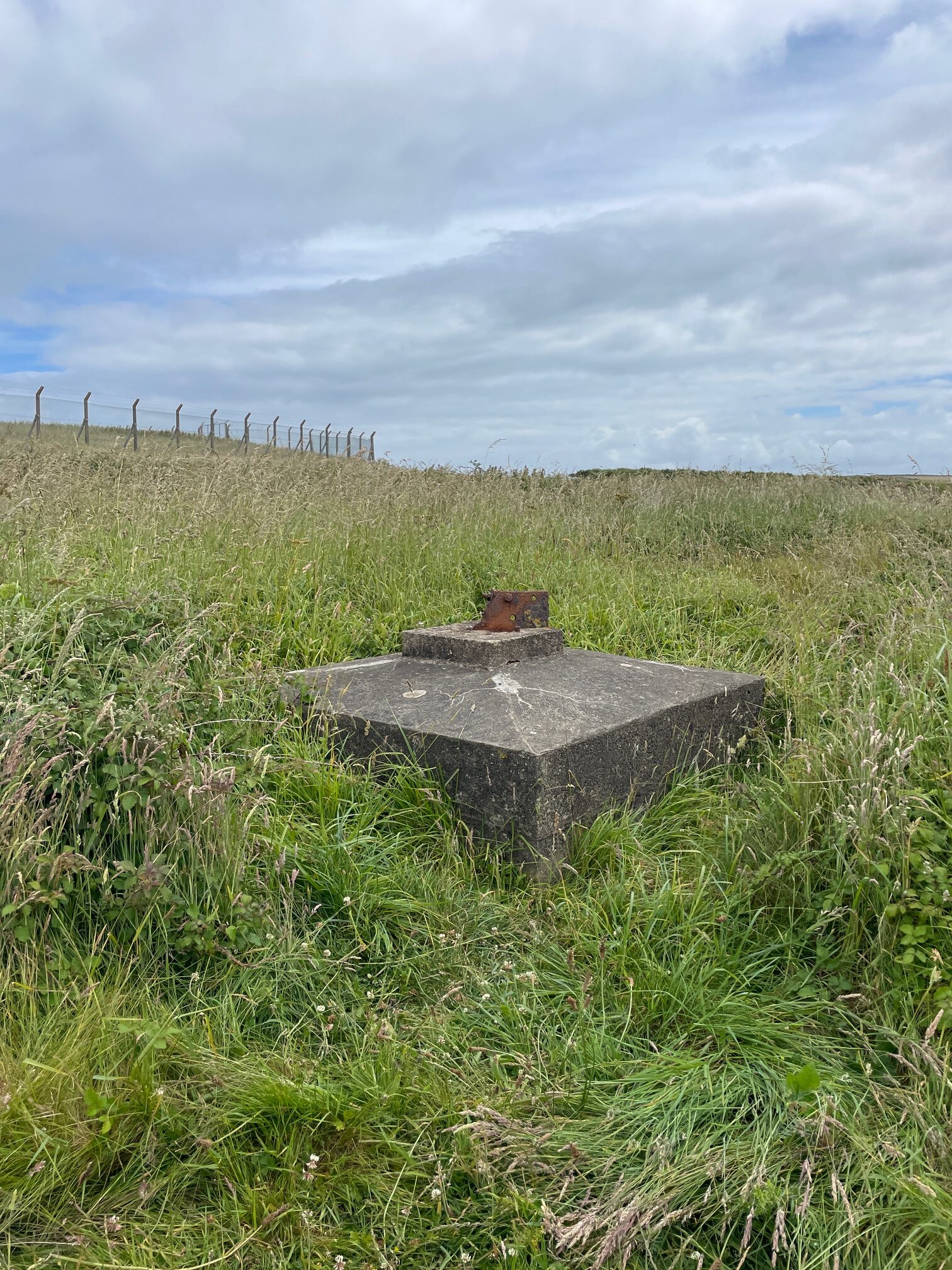
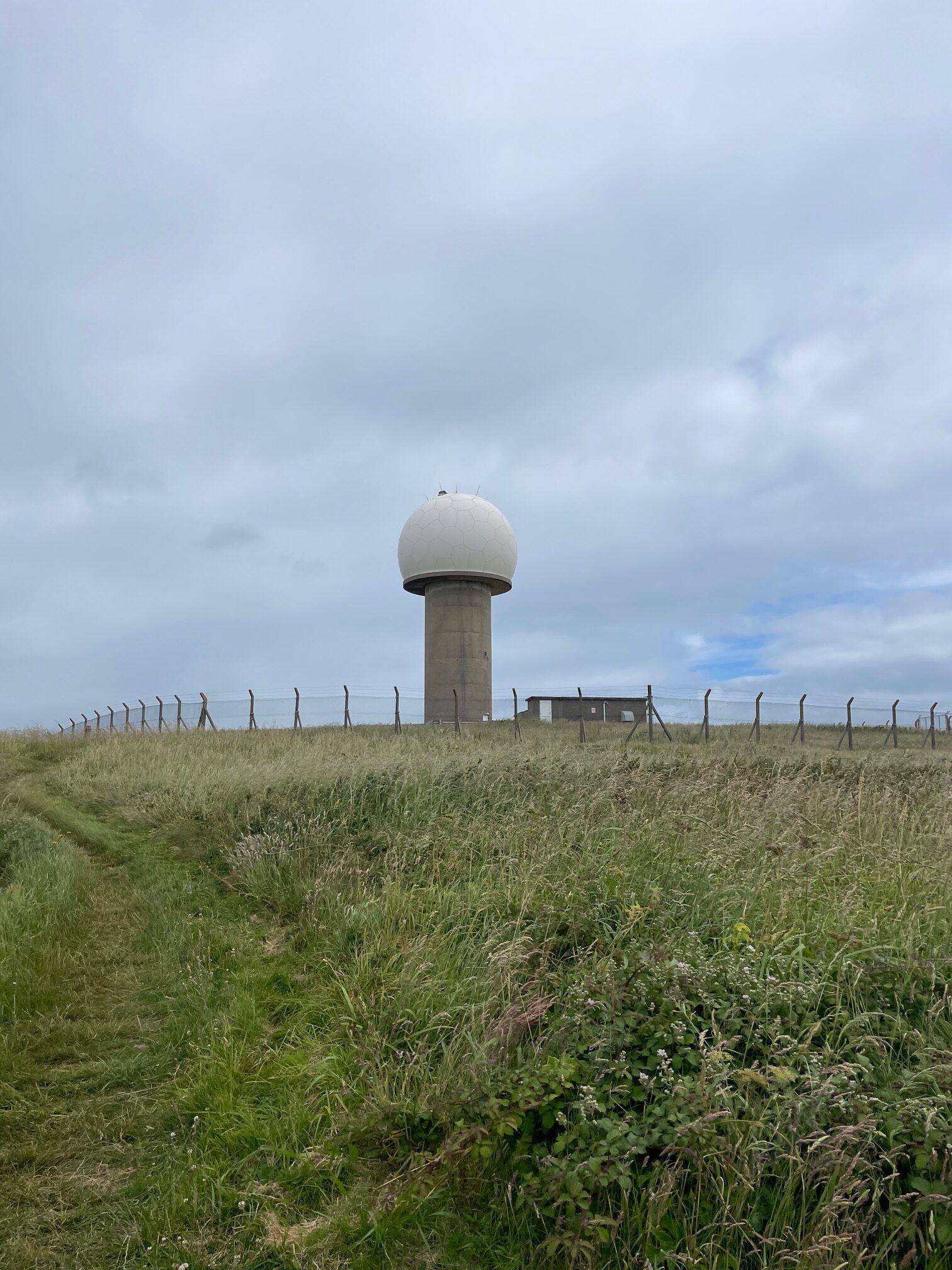
Our taxi driver had mentioned the possibility of the tiny café being open, thankfully it is and we stop and enjoy a yummy tiffin. A concrete block near the café turns out to be something more significant – this area was part of a radar chain during the second world war, detecting low flying enemy aircraft.
Hartland Point RAF – North Devon Coast (northdevon-aonb.org.uk)
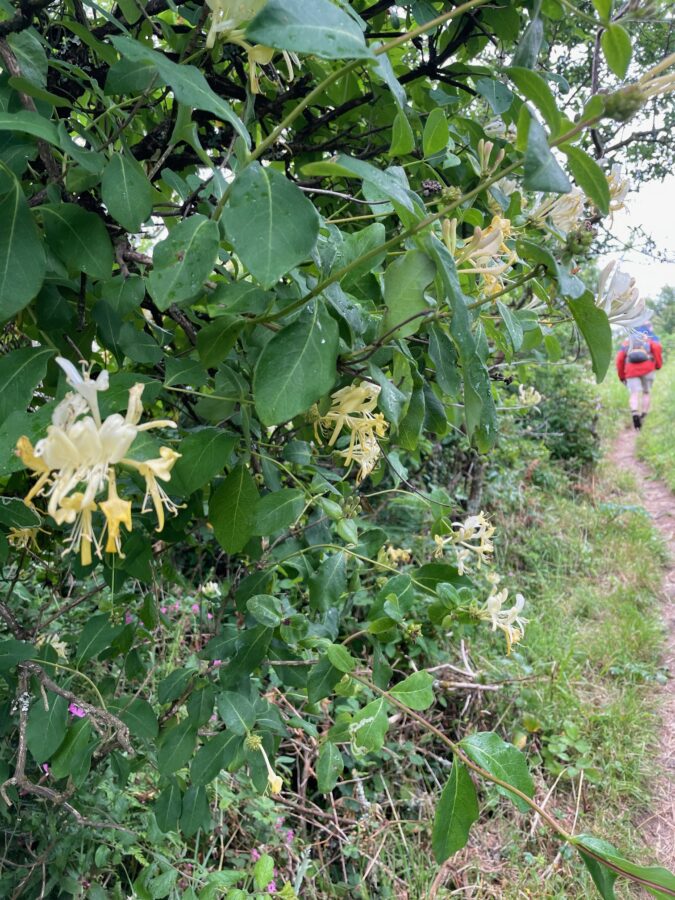
West Titchberry Cliff turns to East Titchberry cliff as we weave through the hedge rowed paths enjoying the sweet scent of honeysuckle. We guess this is the halfway point of todays walk as stop to chat to a couple of ladies we had met at the Red Lion this morning who were doing the walk in the opposite direction.
The wildflower field margins they tell us about are stunning, although the long grass soon seeps into my trousers and boots and I squelch my way onwards.
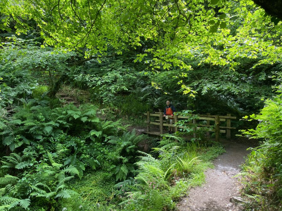
The path is a little inland from the top of the cliff – field to our right and woodland to our left, offering just a few glimpses out to sea. We give up waiting for that bench with a sea view and flop on the edge of a field to enjoy our picnic. We then find ourselves in a magical little wet woodland with a bridge, the paths lined with mosses and ferns, reminding me of the Rye to Hastings Walk many years ago now.
We “walk in the steps of our ancestors” over Windbury Hillfort.
So many people have stopped for a chat today – the next lady as walked all the way from Barnstable over the last few days and tells us how “long and boring” the Tarka Trail section is. But to be honest I am yearning for a bit of flat ground!
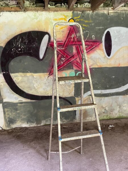
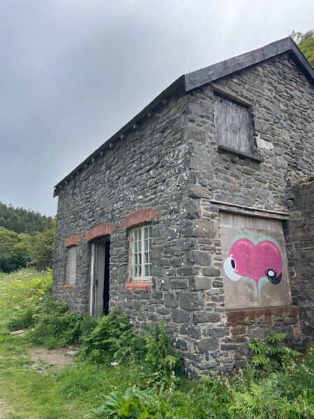
We are now four hours into todays walks and the going is tough as we stumble over stones, down steep steps along field edges and through more woodland to Mouthmill Beach. We take a detour passed the deserted limekiln and graffiti painted structures to the rocky beach and look out to the awesome angled Blackchurch Rock. I’d seen a programme about crazy people climbing this rock, but I guess the view from the top must be worth the risk.
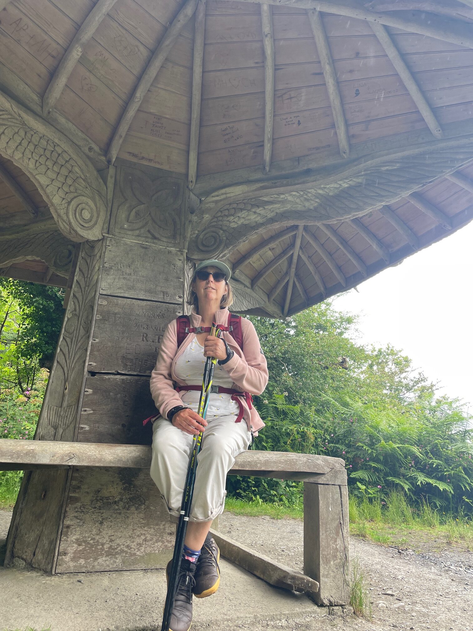
From here to Clovelly, we are in woodland following a gravel path with a very occasional glimpse through to the sea. Wooden carved points, painted green atop gate posts, symbolise that we are now on the Clovelly estate. We stop at the amazing carved shelter known as Angel Wings and pose for a photo under the “wings”, then into the deer-park like estate where the path pops out on the road between the Red Lion and the village.
Our car is waiting for us in the car park, its only just 4 o’ clock and we have a tent to pitch, so we leave Clovelly behind and head north towards Appledore.
Leave A Comment